There was some interest in doing the Kuskam Klimb trail (Mt. Hkusam, near Sayward, http://www.kuskamklimb.com) but we couldn’t find a date to fit everyone’s schedule, so the trip was postponed to possibly late summer or fall.
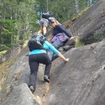
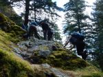
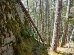
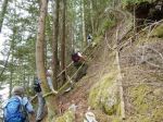
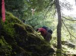
However the weather forecast and schedules aligned for four of us, so we made an impromptu decision to go check it out — just a reconnaissance, nothing serious — get to a viewpoint, check out the snow conditions, see what the trail is like. Well… they said it was steep, difficult, with some fixed ropes. It is that. Difficult on epic proportions. Bring your heart rate monitor! Poles help too, except they get in the way when using the ropes. Bring gloves for the ropes. There are a lot of ropes.
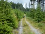
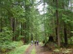
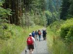
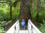
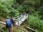
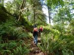
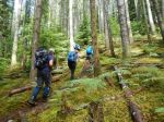
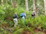
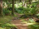
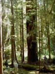
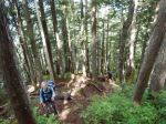
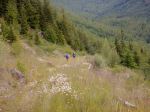
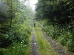
The trail starts very nicely, if it wasn’t steep it would be wheel chair accessible. That lasts about 2 km, up to 410 metre elevation. Then the trail divides. We took the shorter steeper trail. It’s more path than trail and it is steeper. Going up there are many short sections of fixed ropes, many more than we expected.
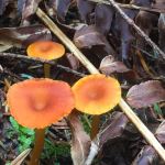
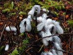
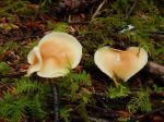
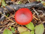
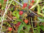
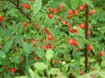
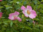
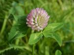
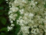
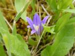
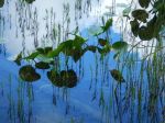
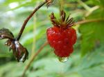
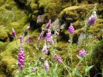
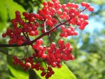
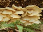
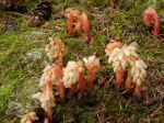
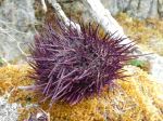
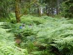
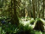
At 4.4 km, 970 m, the trail levels off very briefly and then it reverts to more climbing as it threads its way up what feels like must be a cliff. It’s all in the forest though, so except for a few peeks you don’t see how steep it is down to the valley. Oddly, there’s only one place on the trail where you feel any exposure. There were lots of alpine flowers and we watched a pair of woodpeckers feeding their noisy chicks in a hole in an old dead tree.
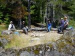
And on it goes, relentlessly up, until the Keta View Rock, at 5.8 km, 1270m, which has fabulous views. We took advantage of it for a lunch stop. This is where we thought about how slow it was coming up and how it might be even slower climbing back down and more dangerous. Since we were almost up to the elevation of the col we thought it might be faster and safer to continue up and over, since the south side had logging roads which would make it possible to go faster (although farther). Little did we know.
So, carrying on from there, the trail still goes up but at a reasonable trail grade. The forest opens up, almost sub-alpine, yellow cedars. All very nice. Except the recent days with thunderstorms dumped about 5 cm of hail above this elevation. We described it as white ball bearings. It made footing treacherous.
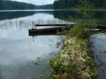
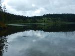
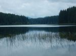
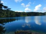
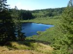
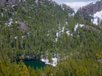
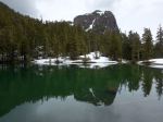
That section lasts until an excellent viewpoint of the mountain itself and the lake below at 6.8 km, 1435 m. Then we descended steeply in the slippery hail to a small lake which is a very nice green colour. 7.2 km, 1335 m.
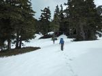
From the lake up to the col there is a snow patch and we kicked steps in the snow. Ours were the only tracks. The col is the high point on the trail, 7.9 km, 1469 m, with good views to the south.
From now on it’s all downhill. The first kilometre is very steep downhill, with long fixed ropes, still on slippery hail. Eventually the ropes and hail end. There is a wonderful lush green spring at 9.2 km, 1130 m, and we continued on a normal grade trail, winding down through old growth forest.
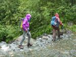
At 9.8 km, 1045 m, the trail crosses the stream on a log bridge and becomes an old logging road, wider and flatter, surrounded by young alders. Classic bear country. We didn’t see any bears but we saw lots of bear signs, some quite fresh. This is where it started to sprinkle and looking back the mountain was in the clouds. The weather forecast for good weather was right, but it did warn of showers developing late in the day.
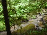
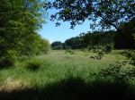
The road down Stowe Creek Valley is a very pleasant walk, with nice view of the surrounding mountains and valleys. The only problem is that after a hard day it goes on forever. It feels endless.
After a couple hours (16.9 km, 380 m) we took the turnoff from this good logging road to a more ancient one which heads back to the start of the Klimb. The forest in this section isn’t so interesting, not if you’re tired. Eventually we made it back to the car. 24.4 km, 11 3/4 hours.
We did this hike two days before the real Kuskam Klimb event for 2016. We did not envy the runners who would be trying to go fast on this route! The runner times are online and simply amazing. They range from 2 hours (!!!!!) to 12 hours. As a hike, the Kusam Klimb trail is very interesting and certainly challenging, but it’s very long to do in one day.
Norris
trail guide
http://kusamklimb.com/trail-guide.php
trail map
http://saywardfutures.ca/wp-content/updloads/2015/11/MountHKusamTrail.pdf
-
-
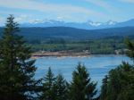
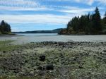
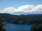
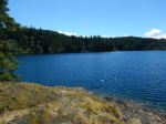
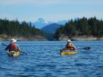
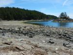
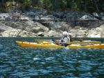
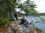
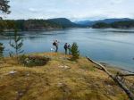
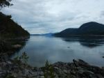
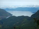
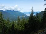
Kelsey Bay and Johnstone Strait
-

-
-
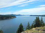
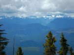
view NW
-
-
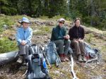
using the rope
-
-
-
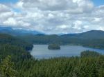
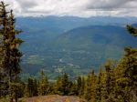
W from Keta View Rock
-
-
NW from Keta View Rock
-
-
-

-
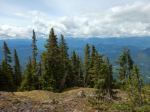
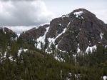
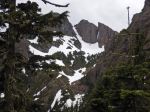
SW ridge of Mt. Hkusam
-
-
-
Mt. Hkusam
-
-
-

-
The col
-
-
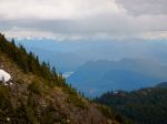
view E from the col
-

-
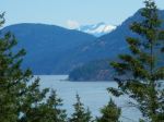
Prince of Wales Range
-
-
Mt. Hkusam
-
-
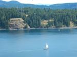
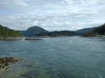
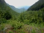
Stowe Valley
-
-
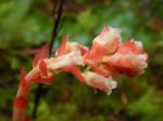
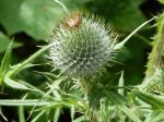
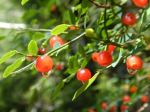
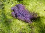
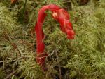
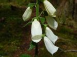
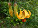
Tiger Lily
-
-
-
(click on photos to view larger)