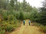
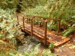
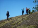
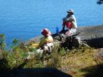
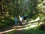
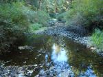
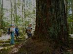
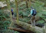
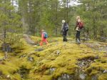
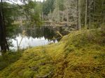
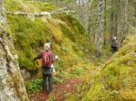
Since the forecast for Wednesday called for full-on monsoon weather, we moved the trip to Tuesday. We started at the logging bridge, which crosses the creek along North Gowlland road, and hiked up Marlow’s Climb. We followed a short, flagged route from the logging road to the official North Gowlland hiking trail and followed that down to the creek and the road. After walking up the Missing Link logging road we joined the Silk Stocking mountain bike trail to a small lake and from there we followed Little Black Dress. After a short dipsy-doodle on Back Door and other trails we took Cash Only and Lady Lumps to return to the vehicles.
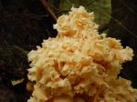
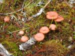
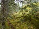
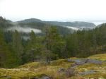
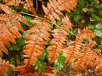
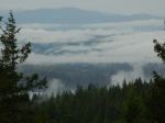
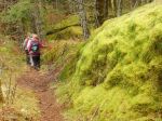
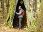
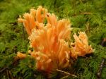
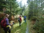
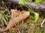
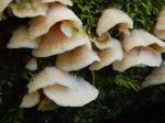
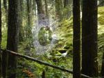
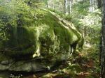
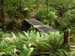
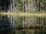
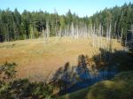
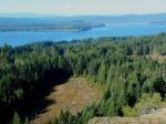
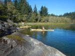
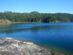
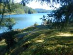
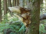
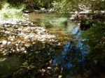
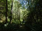
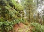
This walk combines a lot of trail sections into a very nice hiking loop. Although there are no big views along the way, the hike includes trails along and over mossy bluffs, an old open copper mine, wetlands and creeks, and always interesting trails. We had all the trails to ourselves with the moss and mushrooms. The rain held off until afternoon, so we had only a light sprinkle. 9.1km; 3 hours.
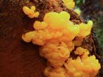
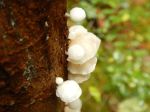
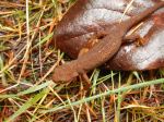
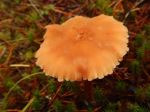
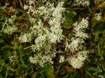
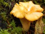
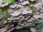
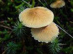
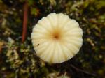
If you know what the mushrooms are, please let us know.
Debbie
(click on photos to view larger)
-
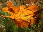
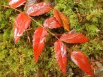
- Bigleaf maple leaf
-

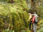
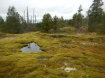
- Old copper mine
-
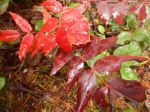
- Oregon grape
-
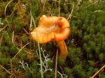
- Chanterelle