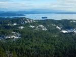
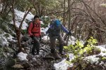
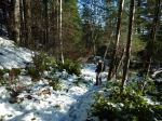
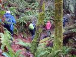
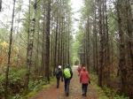
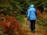
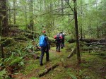
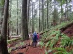
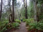
On Saturday nine people decided to try a hike even though rain was threatening. To start we did the small trail at the mouth of Drew Creek. This is a wonderful little trail. It even has benches to sit and watch the creek roll by. The tide was extremely high and had the creek backed up for about 150 m.
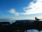
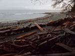
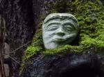
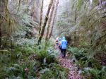
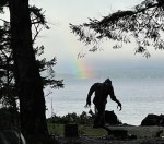
We then walked to Rebecca Spit and turned south along the ocean down to the Sasquatch sculpture. It was about here that the heavy rain showers started off and on. We proceeded down through the new camping spots that have been developed very well. On the way back to the vehicles we were treated to a rainbow. 5.2 km about 1½ hours
Les
Thanks to Les and Norris for the photos.
(click on photos to enlarge)
-

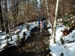
- Bridge over Drew Creek
-

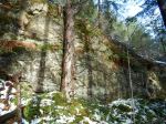
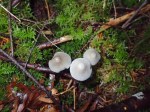
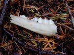
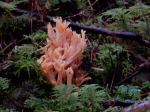
- Elkhorn Lichen
-

- The Sasquatch

-
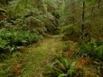
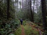
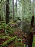
- Shoreline trail

-
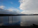
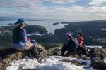
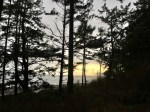
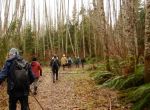
- After the showers