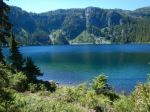
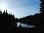
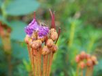
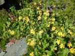
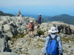
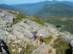
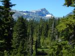
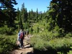
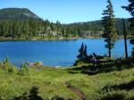
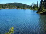
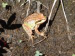
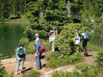
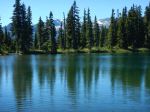
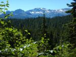
Hike – Forbidden Plateau Lakes – 17 Aug 2016
Activity Hiking
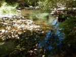
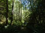
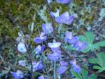
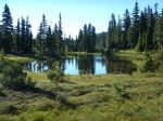
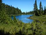
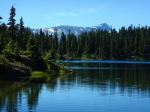
Destination Loop to include eight lakes on Forbidden Plateau in Strathcona Park
Date 17 August 2016, Wednesday
Trip Coordinator Debbie Quigg
Contact Info debbie.quigg@ualberta.ca or 250-3710; it is important that you contact the trip coordinator not later than Sunday, 14 Aug.
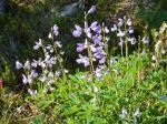
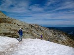
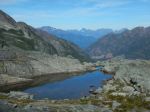
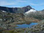
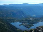
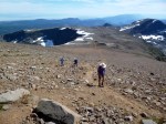
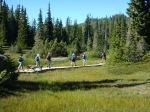
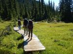
Description This is a moderate, but long day hike of 16-19 kilometers round trip with a few steep, rooty sections. Estimated hiking time is 7 hours, plus breaks. The hike is planned as a loop, moving counter-clockwise. Starting at the Friends of Strathcona Visitor Centre we will hike to Helen Mackenzie, Hairtrigger, Kwai, Mariwood, Croteau, Lady, Kooso, and Battleship Lakes and before returning to the parking lot.   Hopefully the weather will encourage swimming in some of these Lakes.
Meeting Place Ferry parking lot on Quadra Island at 7:30 a.m. for car pooling for 8 a.m. ferry sailing
Departure Time As soon as we can
Difficulty Moderate terrain with some steep sections & long day
Costs Ferry and carpooling costs
Trip limits 12; make sure to sign up early.
Dogs? Dogs are permitted, but must be on a leash at all times due to Park regulations
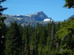
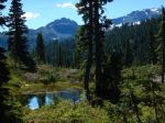
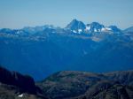
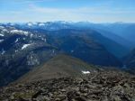
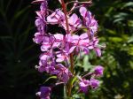
Notes: This is a lovely hike through sub-alpine plateau, with beautiful lakes and great views.


Trip Report – Newton Lake – 13 July 2016
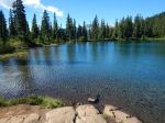
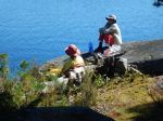
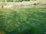
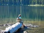
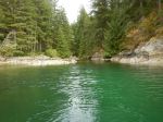
Six enjoyed the peaceful walk to Newton Lake.  Half of us had a swim in the clear, turquoise water.  And we were all grateful (locals and visitors) to spend the day in such a pristine place.  We had the lake all to ourselves.

Julie

(click on photos to view larger)

Hike – Newton Lake – 13 July 2016
Hiking – Stramberg Creek and North Grove – 24 Aug 2016

 Change of date and change of starting time

Activity Hiking
Destination Stramberg Creek and North Grove
Date 24 17 August 2016, Wednesday
Trip Coordinator Norris Weimer
Contact Info norris.weimer@ualberta.ca or 3710.  Please contact the trip coordinator prior to the trip.
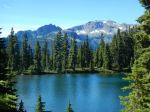
Description This is an exploratory trip on old, overgrown logging roads and flagged routes.  We will begin at the Main Lakes Park parking access to Stramberg Lake and follow Little Main Road north, paralleling Stramberg Lake and Creek.  We may try to reach Shadowbrook Creek or Little Main Lake, before crossing Stramberg Creek and following a flagged route north of the lake to a grove of old growth trees.  This trip will not go to Stramberg Lake, unless the group wants to make a short side trip.  Expect bushwhacking.
Meeting Place Heriot Bay store parking lot, to arrange carpools
Departure Time 9:00 10:00
Difficulty
moderate
Costs none
Trip limits none
Dogs?
Notes: Bring lunch.

Hiking – Maud Island – 3 Aug 2016
Change of Coordinator

Activity Hiking
Destination Maud Island
Date 3 Aug 2016, Wednesday
Trip Coordinator Norris Weimer
Contact Info 285-3710 or norris.weimer@ualberta.ca.  Please contact the coordinator in advance of the trip.
Description Hike to Maud Island through varied forest, via bluffs on Mt. Lolo, and along the shore of Discovery Passage to view Seymour Narrows. There will be a 14.2 flood current at 15:30  We will return in a loop going by the lagoon.
Meeting Place Heriot Bay Store for car pooling
Departure Time 13:00
Difficulty
Moderate
Costs none
Trip limits none
Dogs? no
Notes: Bring a snack and water.

Hike – Newton Lake – 13 July 2016

Activity Hiking
Destination Newton Lake
Date 13 July 2016, Wednesday
Trip Coordinator Julie Mellanby
Contact Info 285-3978; please contact the coordinator in advance of the trip
Description Lovely hike through the woods to a clear, sometimes cold, lake at the north end of the island.  Hopefully swimming will be involved.
Meeting Place Heriot Bay Store for car pooling
Departure Time 9:30
Difficulty easy to moderate
Costs none
Trip limits none
Dogs?
Notes: Bring lunch and possibly a bathing suit.

Trip Report – Paddle Training – 29 June 2016

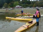
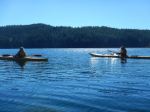
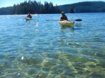
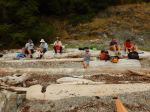
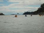
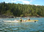
On June 29, nine club members fell out of their kayaks – repeatedly. But with demonstrations and coaching by trainer Douglas Taylor, assisted by his wife, Penny, everyone got back in – repeatedly.

Organized through Coast Mountain Expeditions, the session provided an introduction to assisted kayak rescue and self-rescue for those without previous training, and a refresher and practice for more experienced paddlers. Participants took part in one of two 3-hour blocks, which included a review of kayak safety requirements, discussion of how to rig kayaks to facilitate rescue (e.g. good deck lines rigged loosely enough to grab easily), and a brief demonstration of bracing technique. Most time was spent, however, on the proper way to “wet exit” (after working up the nerve to voluntarily turn upside down….), and to safely and efficiently re-enter the boat either with the help of another kayaker, or with the use of a paddle and paddle float as an outrigger. Doug provided a handout on the steps in self- and assisted rescue which will soon be available in digital form for any club member who wishes one. Please contact Darcy at darcm@telus.net to request your copy.

The weather and water conditions at Mine Lake were perfect – warm air and water, sunny and a slight breeze – great for training, but probably not the most likely conditions for a real capsize. Doug emphasized the need to practice rescue techniques regularly so that the kayaker develops ‘muscle memory’ that will be there when needed for the real thing.

Participants agreed that annual training and practice are vital both for individual paddlers, and to build a cohort of club members with confidence in each other’s skills and knowledge.

Thanks to Lannie at Coast Mountain and trainers Doug and Penny for a very worthwhile day.

Darcy and Valerie

(click on photos to view larger)

Kayaking – Paddle Training – 29 June 2016

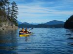
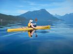
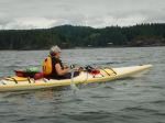
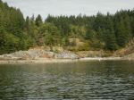
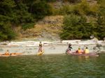
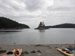
Kayaking – Small Inlet – 10 Aug 2016

 Destination changed to Village Bay

Activity Kayaking
Destination Granite Bay to Small Inlet (and hike)
Date 10 Aug 2016, Wednesday
Trip Coordinator Darcy Mitchell
Contact Info darcm@telus.net or 286-6075.  Please contact the coordinator prior to the trip.
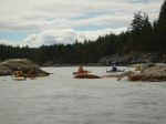
Description Paddle from Granite Bay to Small Inlet, hike across to Waiatt Bay and/or to Newton Lake depending on energy and interests.  If Newton Lake, possibility of swimming.
Meeting Place Boat launch, Granite Bay
Departure Time 10:00 (arrive early to prepare)
Difficulty
easy/moderate
Costs parking at Granite Bay boat launch
Trip limits none
Dogs? no (unless they can paddle…)
Notes: We’ll plan to be back at the boat launch by 4:30.  Bring a lunch and snacks.  Have all necessary safety equipment.

Trip Report – Open Bay Main Logging Roads – 22 June 2016

Despite the downpour the night before, 5 hikers accompanied by one friend of the canine persuasion braved the wet woods for a day of pleasant rambles. The original plans to explore down from Beaver Lake were altered to avoid much bushwhacking in the wet woods. The first ramble began from a logging road at the bottom of Gravel Pit Hill beside the full creek flowing south towards Open Bay. The area appears to be a second growth riparian zone, the rich forest included thick outcrops of Devil’s Club in bloom, all varieties of ferns and two frogs (Pacific Tree Frogs?) on the trail. The trail veered away from the creek up to one of the many logging roads in the area. We crossed the road and followed the flagged route up through a more recently logged second growth to a higher logging road which we followed back out to the junction where our cars were parked.

We opted to drive to the trailhead to Stramberg Lake, taking Open Bay Main just after a fully-loaded logging truck pulled out, heading towards Granite Bay. We parked at the orange gate and followed the logging road east for about 10 minutes, branching off onto an old logging road trail which we followed for about 15 minutes. We found the northerly trail down to Stramberg Lake, but it was quite overgrown with some deadfalls. The final few hundred meters required some bushwhacking (sorry, Emily and Jess) to reach the lakeshore. After a short break on the sandy beach enjoying the tranquil view, we retraced our path back to our cars. We had walked for almost 4 hours, enjoying the lush, damp woods so full of life after the early summer rains. 7.6 km

Valerie

(click on photos to view larger)

Hike – Open Bay Logging Roads – 22 June 2016

Trip Report – Ripple Rock – 20 June 2016

A beautiful day, perfect for hiking, 7 two-footed hikers and one very sanguine four-footed hiker took to the trail at 10 am. We stopped to admire the magnificent old-growth spruce at the start of the actual trail, certainly one of the largest, if not the largest, I have ever seen, even in Haida Gwaii. We encountered the first of the several metal bridges (and later, staircase) that have helped to change this trail designation from challenging to moderate. A pleasant walk through the lush forest, with one steep uphill, brought us to the first of several viewpoints. The view of the industry in Menzies Bay was not inspiring, but the exposed mud flats and eel grass were interesting, though we were too far away to see any particular wildlife. The trail continues around the bluff, offering occasional views south and east. A final stop at another viewpoint then the final staircase to the top of the bluff; the rock climb, up and down, pre-staircase, would have certainly been an interesting challenge. At the top we are treated to a perfect view of Seymour Narrows and the site of the former Ripple Rock. It was most interesting to see this historic site from the other side of the channel, most of us well familiar with the view from Maud Island on the Quadra side. We enjoyed almost an hour in the sunshine, having arrived at almost exactly slack, the Narrows were almost still. By the time we left, the boils and whirlpools of the rapidly increasing current were apparent, though only running then at about 4 knots, 1/3 of the way to the 12 knot max ebb that afternoon. On our return we passed several groups of hikers, presumably timing their hike to coincide with the max current. (I recommend we do the same for a return to Ripple Rock Trail, it would be well worth it.) We were back at the trailhead just after 2 pm. Flora of note were common camas still in flower at the first viewpoint and an earthstar beside the trail. An excellent hike, well worth repeating, even with the early morning start for some of us! 4 1/2 hours; 9.3 km.

Valerie

(click on photos to view larger)

Hike – Ripple Rock – 20 June 2016