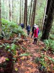
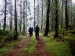
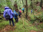
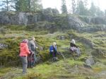
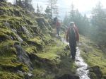
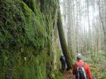
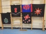
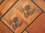
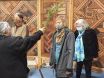
In honour of Truth and Reconciliation the QI Outdoor Club undertook a unique outing this week. Ten members, and one prospective member, went on an urban walk with a Reconciliation theme. Starting at the “Silver Lining” sculpture (K. McKenzie) with its accompanying homage to the missing children of Canada’s Indian Residential “Schools” (IRS) we set out on our urban “hike”. Downhill to the ferry, across the Passage, and then a sweat-inducing uphill walk to the Laichwiltach Family Society complex on 4th Avenue, on a typical fall day. After being welcomed there by two resident Elders we were introduced to Carey Newman’s “Witness Blanket”, a national monument to recognize the atrocities of the IRS. We spent time studying the replica of this monument (the original is at the Human Rights Museum in Winnipeg; see https://humanrights.ca/story/picking-up-the-pieces-the-making-of-the-witness-blanket for more information) and then heard the very impactful stories of two survivors of residential school. To help each one of us process the emotions and learnings of our experience, our Elder Hosts did a cedar brushing ceremony before our departure.
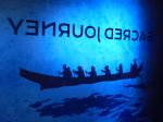
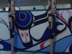
The next part of our journey took us on a short downhill walk to the Campbell River Museum and the “Sacred Journey” exhibit. https://crmuseum.ca/2021/01/04/sacred-journeys-exhibition/. This stunning multimedia exhibit is in its last weeks before moving on to Victoria and beyond. Produced by Heiltsuk Hemas, Frank Brown, to celebrate the history and renaissance of Pacific North West Coast canoe culture and 30 years of tribal journeys, the exhibit was made possible by the creative talents of several Quadra Islanders.
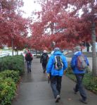
From the museum we continued our urban walk along Thulin Drive and back into downtown Campbell River where we took our lunch stop at the Crooked Spoon Cafe on Shoppers Row. This was a first for many of the group and the food and service received a very strong endorsement from all. The planned continuation of the trip to Tyee Spit was modified at this point. Well satiated on a big lunch and plenty of discussion, we all decided to continue the day doing our own thing!
Vic
(click on photos to enlarge)
-
-
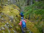
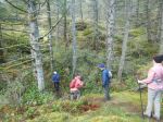
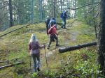
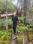
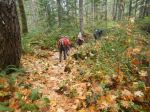
Fall walk
-
-
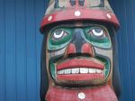
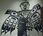
Totem at Laichwiltach Centre
-
-
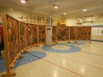
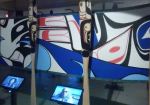
Witness Blanket replica
-
-
Witness Blanket detail
-
-
Witness Blanket detail
-

-
Thunderbird
-

-
Residential School mortality
-
-
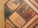
Blanket and bead designs
-
-
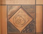
Witness Blanket detail
-
-
Brushing away the darkness
-
-
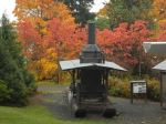
Steam donkey at the Museum
-
-
Sacred Journey exhibit
-
-
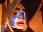
Mask within a mask
-
-
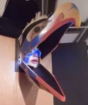
Canoe replica
-
-
-
-

-
Images inside the canoe
Cultural Walk – Campbell River – 20 Oct 2021