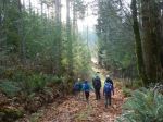
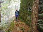
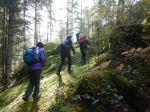
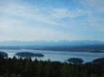
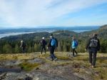
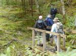
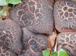
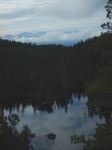
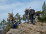
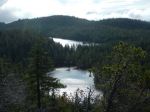
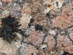
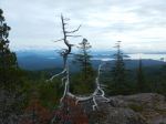
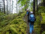
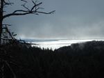
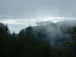
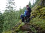
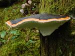
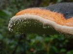
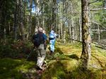
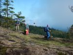
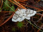
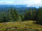
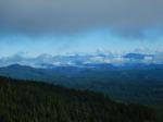
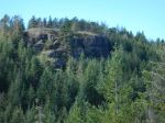
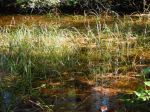
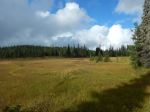
Four of us headed out into Paradise Meadows on a nice autumn morning after a weekend of heavy rain. The first part of our loop went quickly on good boardwalk from which we could appreciate the bogs, ponds, meadows and lakes and their flora without tramping through mud. After passing Battleship, Kooso, Lady Lakes and numerous meadows, we had lunch at Croteau group campsite and yurt. As the forecast rain held off, we decided to hike the Kwai Lake Loop, so we continued on to Kwai Lake and up the hill to the Ranger cabin. Passing through a meadow surrounded by blueberries and huckleberries, we surprised two black bears: a mom and cub. The long descent to Helen Mackenzie Lake is through forest and features roots, rocks and mud. This section always seems endless. However, on the plus side, there were many varieties of mushrooms to admire. And it didn’t rain until we got back to the car. 17.2km; 187m elevation gain; 6 hours,
On the drive back to Campbell River a large black bear cub ran across the four lane highway in front of us, near Black Creek, with a big mama bear watching from the ditch.
Norris
(click on photos to enlarge)
-
-
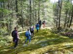
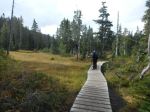
Paradise Meadows
-
-
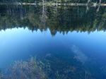
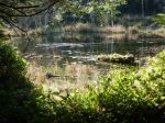
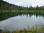
Battleship Lake
-
-
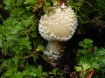
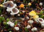
Amanita mushroom
-

-
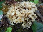
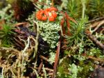
Coral fungus
-
-
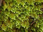
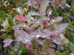
Blueberry leaves
-
-
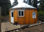
Yurt at Croteau Lake
-
-
Croteau Lake
-
-

-
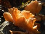
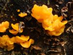
Scaly Vase Chanterelle
-

-
Mountain Aster
-
-
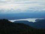
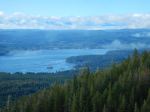
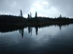
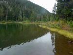
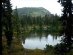
Kwai Lake
-
-
Mt. Elma and Kwai Lake
-
-
-
Bog Laurel
-
-
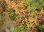
Fall Colours
-
-
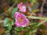
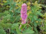
Douglas Spirea
Hiking – Forbidden Plateau – 16 Sept 2019