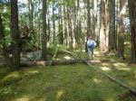
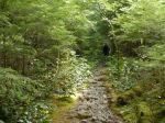
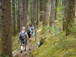
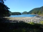
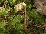
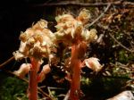
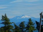
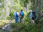
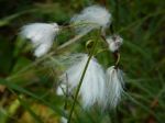
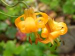
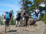
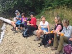
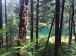
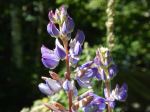
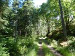
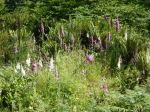
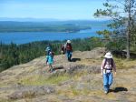
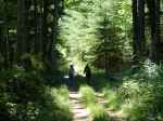
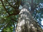
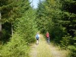
The hike to Mt. Becher was postponed due to super hot weather, poor visibility from BC forest fires, and ferry overloads. Instead we opted for a cooler, local hike to Kanish Bay and Darkwater Lake. After a long drive over rough logging roads, with a few stops for lake views and wildflowers, we parked and walked to Kanish Bay along a somewhat overgrown old logging road. It was pleasant and cool in the forest and there were still more wildflowers. Views of Kanish Bay don’t come easily, but we bushwhacked down to a gravel beach for lunch, views and a breeze.
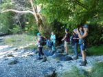
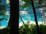
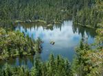
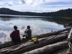
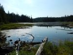
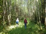
We walked back to the vehicle and drove toward Darkwater Lake. The walk is very short, through open understory forest, to the mossy peninsula. We sat on the rocks by the lake and Julie swam in the cool water. 4.0 for Kanish Bay; 1.4 km to Darkwater; 2½ hours total without the driving.
– Norris
(click on photos to view larger)
-
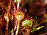
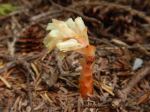
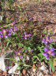
- Sundew
-
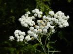
- Pearly Everlasting
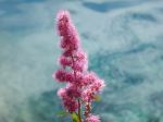
-
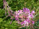
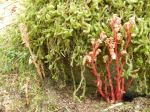
- Fireweed
-
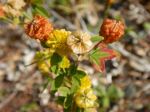
- Hop clover
-
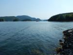
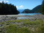
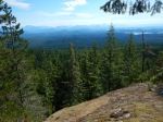
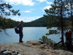
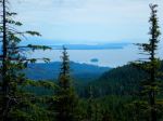
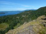
- Kanish Bay looking NE
-
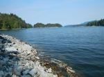
- Kanish Bay looking NW
-
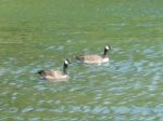
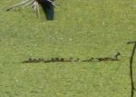
- Canada Geese
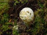
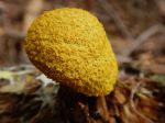
-
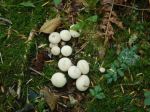
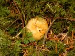
- Puff balls
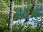
-
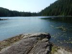
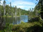
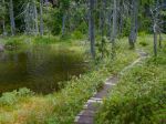
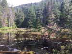
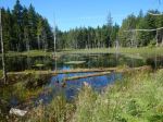
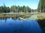
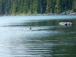
- Darkwater Lake
-
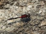
- Dragonfly