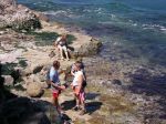
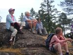
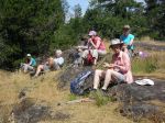
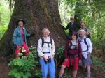
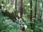
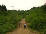
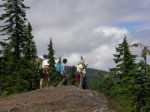
After an early start on Wednesday June 17th, five members of the Quadra Island Outdoor Club safely summitted Mt Becher. Members on outing included two members of the executive committee, Debbie Quigg, Chair and Norris Weimer, Webmaster as well as members at large; Kathy Sales, Kathryn Manry 1st leader, and Mark Zimmerman 2nd leader.
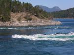
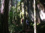
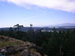
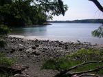
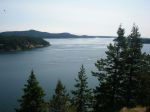
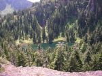
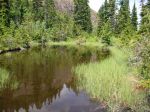
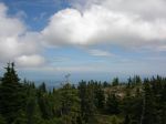
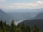
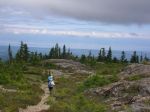
Our adventure started at the mildly post apocalyptic base of the defunct Forbidden Plateau Ski Resort and shortly after gaining that initial summit we enjoyed more pleasant wandering in the subalpine forest. Early vistas included the Gulf of Georgia and an assortment of small islands, towns, villages and hamlets. Halfway to the summit we overlooked Boston Lake, a great spot for a lunch break. Carrying on we summited a bit after mid-day and had our only look at large mammals, a herd of about a dozen folk of various sex and size, all associated with an outdoor group from Parksville.
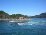
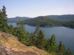
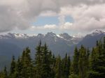
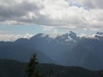
Great views of the Comox glacier and surrounding peaks were enjoyed from the summit, before our return.
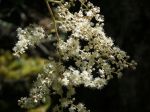
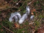
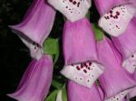
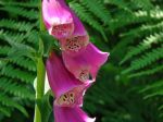
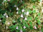
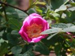
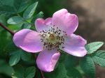
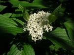
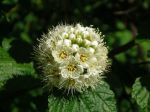
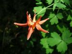
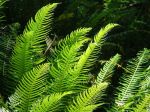
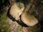
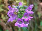
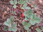
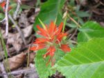
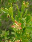
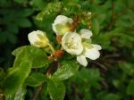
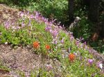
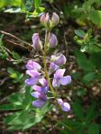
A partial list of flowers observed include the following:
- Alpine Lupine
- Subalpine Daisy
- Yarrow
- Leatherleaf Saxifrage
- Partridgefoot
- Spotted Saxifrage
- Alaskan Saxifrage
- Columbia Lewisia
- Lance-leaved Stonecrop
- Spreading Stonecrop
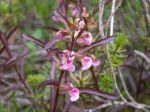
- Twinflower
- Paintbrush
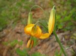
- Tiger Lily
- Spreading Phlox
- White Flowered Rhododendron
- Heather
- Columbine
- Birds Beak Lousewort
- Coast Penstemon
- Rosy Pussytoes
- Bunchberry
- Valerian
- Small Leaved Montia
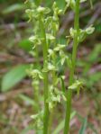
- Slender Bog Orchid
-

-
-
-
-
-

-
-

-

-
-
-
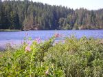
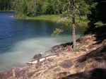
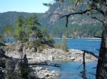
Boston Lake
-
-
-
-

-
-
-
-
-
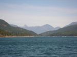
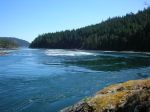
Comox Lake
-
-
Comox Glacier
-
-
-
-

(click on photos to view larger)
Hiking – Mt. Becher – 17 June 2015