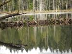
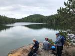
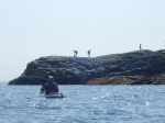
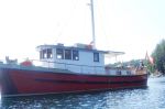
Six people met at April Point Marina an hour after low tide to launch their kayaks. The weather was sunny and calm as we paddled through the narrow entrance into Gowlland Harbour. This is where we encountered the most current, but it was not that heavy. Once into the harbour we paddled between Mouse and Crow Islets. Then by Wren Islet and up the northeast side to the log dump. The clouds moved in as we headed for May Island for lunch. Just as we got there the heavens opened up and we all got soaked.
After lunch the weather turned back dry and we left for the opening between Steep and Gowlland Islands. The flood current here was not anywhere near the 4 knot max that the charts showed was occurring off Orange Point. We also found this the case for just off April Point so we slid on down to the next little bay. From there we returned to April Point Marina in another shower. All in all it was a great paddle. 12.7 km taking 3.75 hours.
Les
(click on photos to view larger)

-

- Looking toward Blindman’s Bluff
-
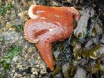
- Sea star

-

- Rain coming for lunch time
-

- Rose hip
-

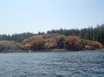
- West of May Island
-

- North of Steep Island
-

- Totem pole on Steep Island
-

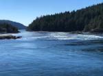
- Calm in Steep Passage
-

- Beach on west of Gowlland Island
-
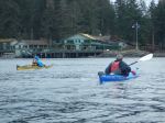
- Approaching April Point
-
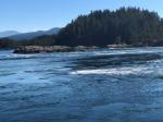
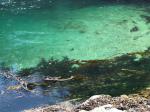
- A tiny bit of tidal action
-
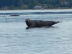
- Habour Seal