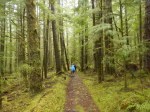
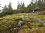
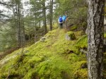
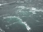
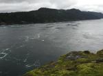
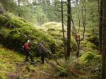
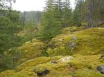
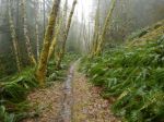
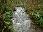
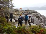
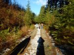
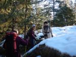
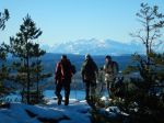
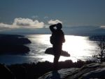
There were 12 for this walk to visit three sites of Quadra’s distinctive karst formations. It’s hard to believe that with all the rain this Winter there wasn’t quite enough water in the streams for ideal viewing, but the sinkholes, insurgents and resurgent creeks were impressive nonetheless.
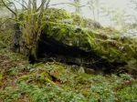
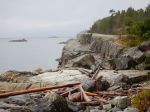
Karst landscape is largely shaped by dissolving action of water on carbonate bedrock (usually limestone, dolomite, or marble). This geological process, occurring over many thousands of years, results in unusual surface and subsurface features ranging from sinkholes, vertical shafts, disappearing streams, and springs, to complex underground drainage systems and caves.
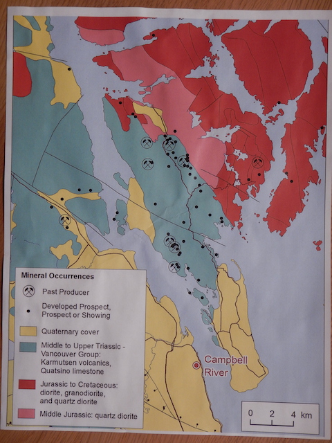
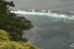
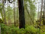
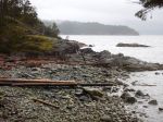
A narrow band of Quatsino Limestone on Quadra Island extends north from Open Bay and terminates near Luoma Creek. The most significant area north of Canyon Creek contains the largest number of caves and karst features. Although the cave sizes are very small, the impressive size of some of the karst features makes this an interesting area for recreational exploration and interpretation.
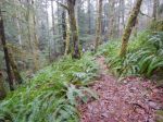
The Quadra Island Trails Committee has applied to Recreation Sites & Trails BC for two Forest Interpretative Sites to help protect some of the finest surface karst features on Quadra Island.
Richard Leicester
-

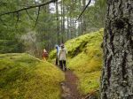
- Group in sinkhole
-

- Group in sinkhole
-
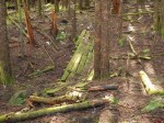
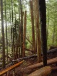
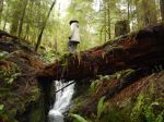
- Shake-cutters’ bridge
-
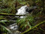
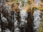
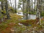
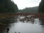
- Resurgent stream
-

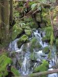
- Falls into large sinkhole
-

- Old mine shaft
-
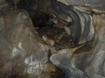
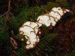
- Limestone cave
-

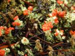
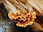
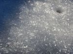
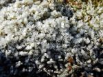
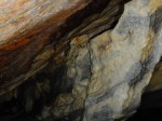
- Colourful rock
-
- Is that a cave cricket?
(click on photos to view larger)
Naturalist – Karst Formations – 24 February 2016