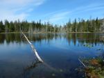
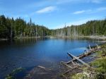
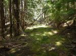
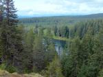
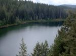
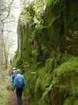
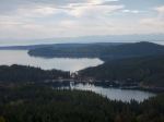
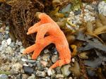
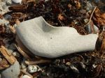
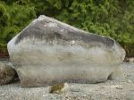
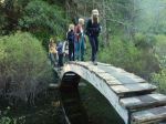
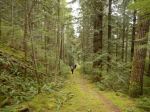
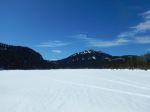
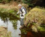
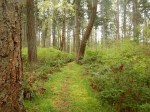
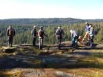
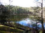
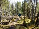
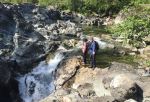
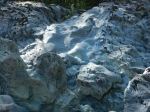
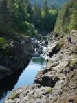
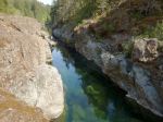
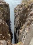
We began our trip to Sooke by visiting the Sooke Potholes. Eight of us drove up to the Regional Park and spent a few hours walking to the viewpoints and beaches, admiring the channels and sculpted rocks. 5.3 km.
We camped at the Sooke River Campground, which was well located for us and very quiet. We had wonderful appies and socializing each night. There were quite a lot of birds, including quail, rabbits and at least one bear in the area.
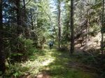
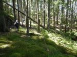
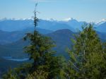
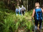
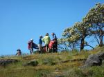
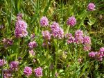
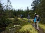
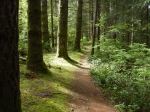
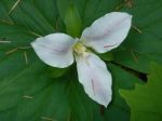
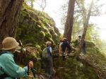
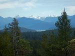
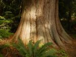
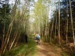
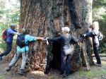
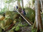
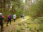
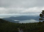
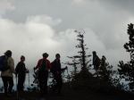
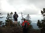
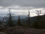
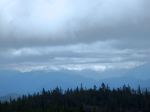
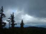
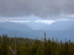
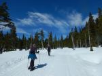
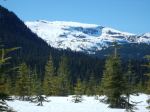
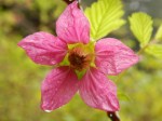
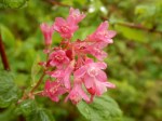
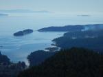
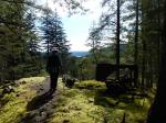
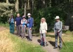
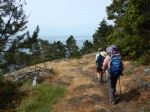
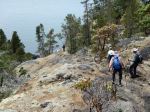
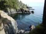
On Tuesday, seven of us hiked the Coast Trial in the East Sooke Regional Park. After the car shuffle, we started at Aylard Farm and hiked west to Pike Road Trail. The views along the rugged coast and across the Juan de Fuca to the Olympic Peninsula were spectacular. We really enjoyed the arbutus trees, which were continuous along the exposed bluffs and the excellent wildflowers in spite of the dry conditions. The route, undulating over the many rocky points and bluffs, was quite challenging. Just under 7 hours; 14.7 km.
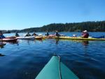
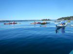
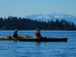
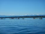
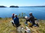
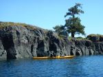
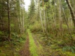
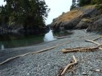
On Wednesday, several people headed home, while four of us had an easy walk at Whiffen Spit and Sooke Harbour House. We then went separate ways, with some biking on the Galloping Goose trail to Matheson Lake; hiking up to Babbington Hill in East Sooke Regional Park; and visiting the Sooke Museum. It was too windy for kayaking. There were lots more destinations we couldn’t begin to visit in two and a half days.
Debbie
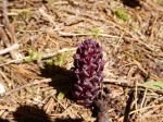
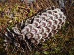
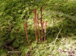
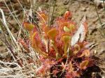
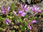
Here is a list of flowers:
harvest brodiaea
death camas
yarrow
smooth alumroot (heuchera)
white rhododendron
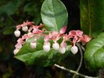
evergreen huckleberry
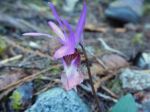
tiger lily
nootka rose
red paintbrush
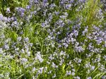
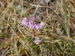
sea blush
field chickweed
red columbine
nodding onion
fool’s onion (brodiaea)
fireweed
starflower
orange honeysuckle
farewell-to-spring
wild strawberry
broad-leaved stonecrop
false lily-of-the-valley
small-leaved montia
Siberian miner’s lettuce (candy flower)
white-flowered hawkweed
narrow-leaved hawkweed
arbutus
salal
manzanita
-
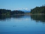
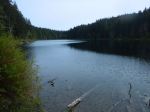
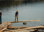
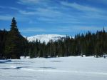
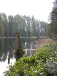
- Sooke River
-
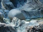
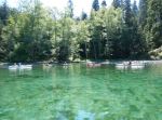
- Sooke Potholes
-

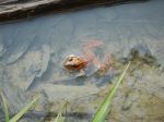
- Swan on the Sooke River
-
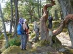
- Arbutus on the Coast Trail

-

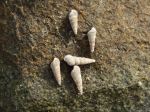
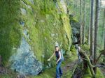
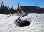
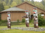
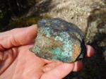
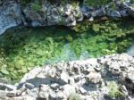
- Petroglyph
-
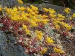
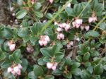
- Broad-Leaved Stonecrop in bloom
-
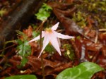
- Noddling Onion
-
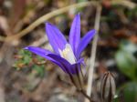
- Harvest brodiaea
-

- Broad-Leaved Stonecrop
-
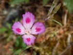
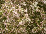
- Farewell-to-Spring

-
- Salal

-
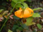
- Tiger Lily

-
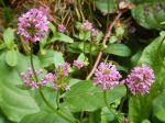
- Sea Blush
-
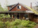
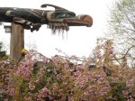
- Sooke Harbour House
-

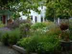
- Entrance to Sooke Hbr House
(click on photos to view larger)