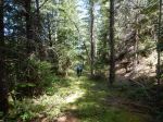
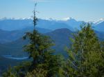
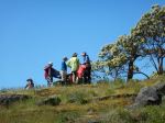
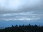
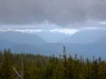
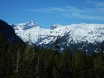
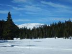
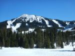
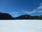
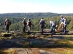
Eight members met at Cortes Ferry line-up for our three day hiking trip to Cortes Island. A lovely cruise on the ferry and a time for details about the trip. We first took a quick visit to Whaletown, a sweet community, then onto Gorge Harbour; walked the property and the dock. On to Linnaea Farm to leave our baggage. We began the first hike and hiked up to Easter Bluff, gorgeous views overlooking the south and west ends end of Cortes, Quadra and the mountains beyond. In the afternoon we walked at Hank’s Beach Forest Conservation Park, spent time on the beach. The group enjoyed a delicious dinner around the big table at the farm.
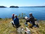
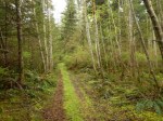
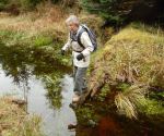
Tuesday, Sabina, a marine biologist, took us on a walk from Smelt Bay to Manson’s Landing. This was a day filled with marine knowledge: identified wolf prints, sea-weeds, shells, grasses, birds, ducks, history of Cortes etc. It was a wonderful experience. Lunch near the beautiful maple trees and onto Manson’s Landing. Afternoon we walked Siskin Forest Park, one of the newer parks on Cortes. Again, a delicious dinner.
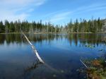
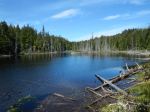
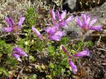
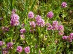
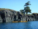
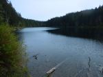
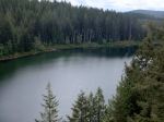
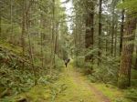
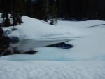
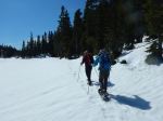
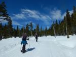
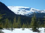
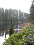
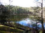
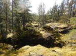
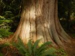
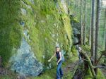
Final day we hiked in Kw’as Park. This is a large network of trails filled with old growth. We hugged the sides of Gunflint Lake and Hague Lake. Managed to climb up to the summit, a lovely display of wild flowers, arbutus and manzanita. We marveled at the huge red cedar trees and the dear survivor Douglas fir tree. We only managed to hike part of the park and certainly want to return.
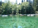
Gunflint Lake was inviting and some chose to swim in order to cool down. Packed and onto the ferry, returning to Quadra.
I truly enjoyed this trip: the weather was a plus, the group was fantastic, the farm stay enjoyable and the hikes amazing. We all expressed what a gem Cortes Island is.
Margot
-
-
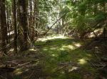
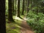
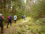
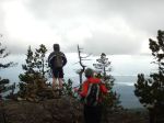
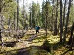
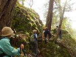
Trail to Easter Bluff
-

-
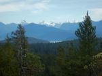
Looking west
-
-
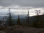
Looking east
-
-
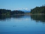
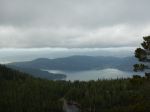
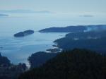
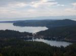
Cortes Bay and beyond
-

-
-
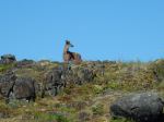
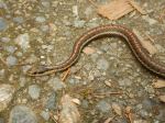
Garter snake
-
-
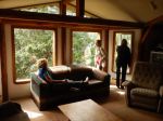
Inside the farmhouse
-
-
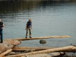
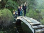
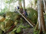
Meg on the balance beam
-

-
Hank’s Beach
-
-
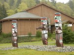
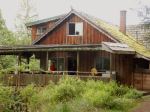
The farmhouse
-
-
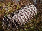
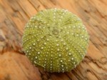
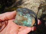
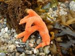
sponge
-
-
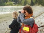
Sabina
-
-
-
-
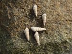
Moon snail egg case
-

-
Alex’s meadow – lunch stop
-
-
Petroglyph
-
-
Mother Cedar – Siskin Forest
-
-
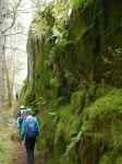
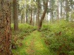
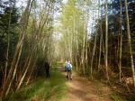
Trail in Siskin Forest
-
-
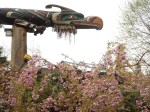
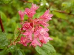
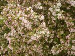
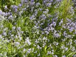
Blue bells at the farm
-
-
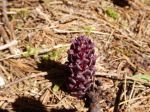
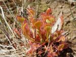
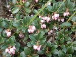
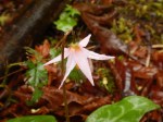
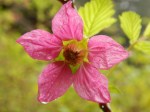
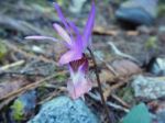
Calypso orchid
-
-
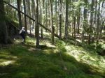
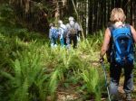
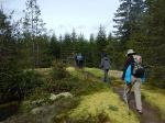
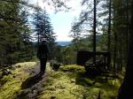
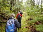
Trail to Kw’as Park
-
-
-
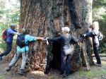
Large Fir – Kw’as Park
-

-
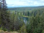
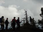
Bluff down from the Summit
-
(click on photos to view larger)
Multi-day Hiking – Cortes, Linnaea Farm – 18-20 Apr 2016