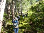
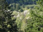
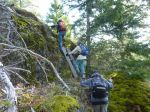
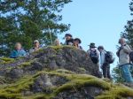
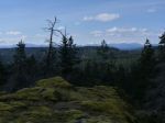
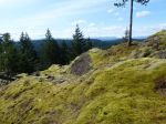
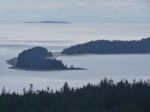
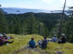
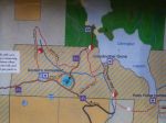
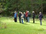
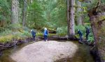
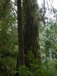
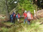
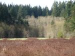
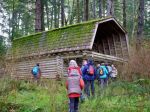
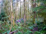
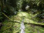
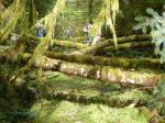
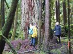
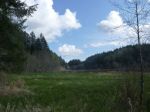
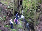
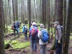
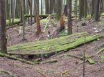
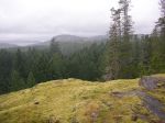
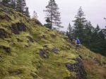
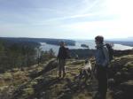
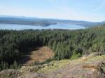
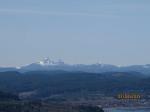
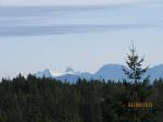
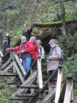
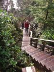
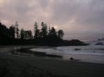
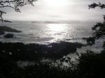
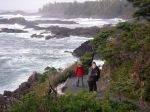
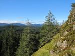
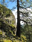
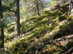
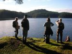
The weather forecasts varied wildly, but in the end we had a good day for the hike to Maud Island. The nine of us hiked through the mossy forest and along the old logging road leading to the foot of Mt. Lolo. Even with some cloud, the views were good. We descended the trail down the south bluff, continued through the forest and along the coastal trail to the area north of the causeway where Canoe Pass Tidal Energy Corp. has recently built a dock and rearranged the rocks. The work leading to constructing tidal turbines was not as far advanced as we had expected.
http://www.newenergycorp.ca/Portals/0/documents/case_studies/Canoe%20Pass.pdf
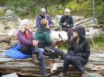
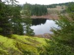
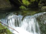
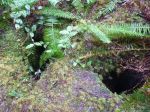
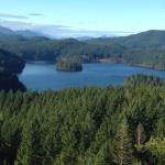
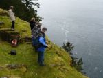
We hiked to the overlook on Maud Island for lunch and were rewarded with sightings of sea lions and a whale (humpback?) in Seymour Narrows. We returned via the saltwater lagoon. About 4 hours, 10.2 km.
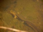
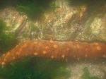
-
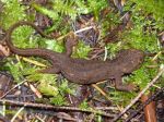
- Newt
-

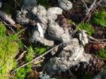
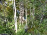
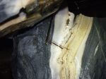
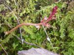
- Indian Pipes

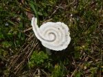
-
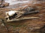
- Coral Root Orchid

-
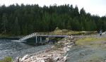
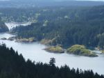
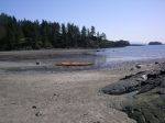
- New dock
-

- Causeway at Canoe Pass
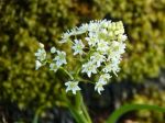
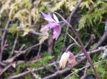
-
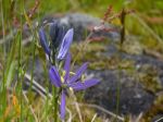
- Common Camas
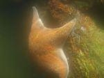
-

- Sea Lion
(click on photos to view larger)