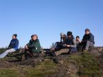
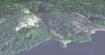
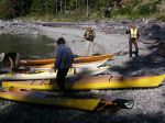
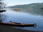
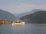
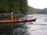
Debbie, Norris, Margot, Lonn and Darcy boarded the 9:05 ferry to Cortes on Monday morning and launched at the foot of Sea Vista road – a bit of a carry from the parking area made much easier by loading all the gear except boats on Lonn’s truck which he was able to drive to the beach. We left near high tide on a beautiful, sunny, windless day and paddled north through Plumper Passage and on to the entrance to Von Donop Inlet, with a short lunch break at Carrington Bay.
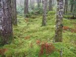
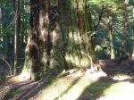
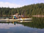
Our first plan for a campsite was to select one of the two reported on either side of Robertson Creek, about a kilometer northwest of Von Donop entrance. The first site showed a good beach, but tent sites appeared to be well back in the bush and rather dark. The second site would have been fine had it not been littered with derelict boats, floats, Styrofoam blocks and other detritus. So, following a futile hunt by Margot and Lonn to the north, we paddled back into Von Donop Inlet, to a beautiful, flat, open spacious site among huge cedars at the entrance to Von Donop lagoon. There’s even a picnic table!
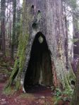
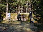
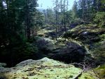
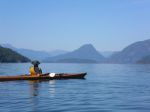
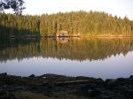
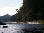
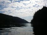
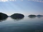
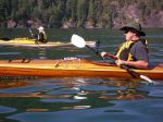
Following happy hour (with smoked salmon), dinner and a campfire, we crawled into our tents and woke next morning to another beautiful day. We first checked out the entrance to the lagoon to see whether it would be possible to paddle in (an exercise we repeated later in the day at a higher tide). The lagoon entrance is full of shellfish and sea stars that obviously relish the rushing water. We then paddled across Sutil Channel to the Penn Islands. We spotted one small group of kayakers (who turned out to also be from Quadra Island) and landed at a campsite on the east side of northernmost Island. The beach has excellent protection from all weathers and several tent sites (occupied by the tents of our Quadra neighbours). After paddling among the islands, accompanied by snorting, blowing and splashing seals, we returned to Von Donop and, starting at the north shore of the lagoon entrance, hiked up to Wiley Lake. On the way back, we stopped to investigate a small cabin, which has been built by local residents to provide emergency shelter for boaters and hikers. We again tried to enter the lagoon, but concluded that tides likely need to be higher than 14 or 15 feet to make entry possible.
After another quiet night (except for the odd owl and the rustle of curious rodents), we broke camp for the return trip. With impeccable timing, the weather started to change and we paddled back in a light headwind followed, as we drove onto the ferry, by the first drops of rain.
In all, we paddled about 60 kilometres over the three days.
submitted by Darcy Mitchell, trip coordinator
-
-

-
-

-
-
-
-

-
-
-
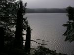
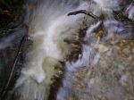
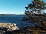
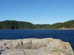
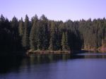
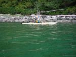
lagoon entrance in the morning
-
-
-
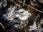
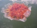
Lion’s Mane jellyfish (?)
-
-
-
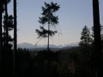
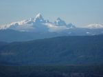
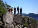
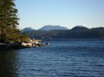
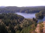
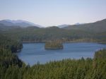
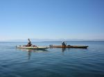
the Penn Islands
-

-
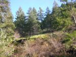
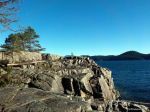
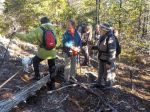
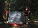
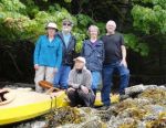
campsite at the Penn Islands
-
-
-

-

-
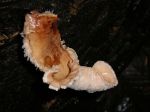
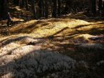
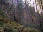
bracket fungi on a tree
-
-
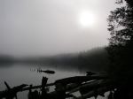
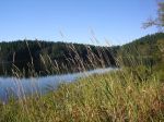
the lagoon entrance in the afternoon
-
-
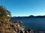
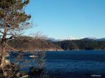
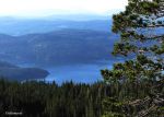
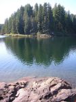
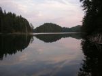
the lagoon
-
-
(click on photos to view larger)
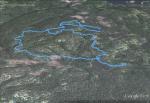
Paddling/camping beyond Cortes 15-17 Sept 2014