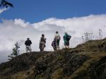
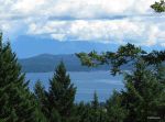
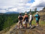
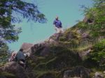
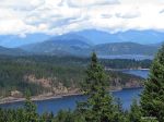
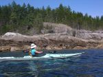
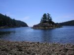
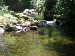
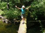
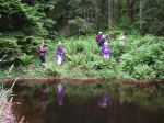
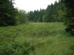
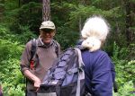
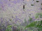
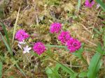
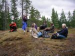
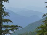
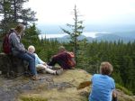
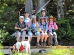
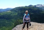
After taking the 8:00 ferry and driving up to Mt. Washington, the group of seven hikers started out from the Strathcona Park visitor centre just after 9:30. It was sunny and hot, and the Paradise Meadows were beautiful even though most of the flowers were past their peak. We hiked passed Battleship Lake on some excellent new boardwalk and continued through lovely forest with views of the sub-alpine lakes of Kooso, Lady and Croteau and the mountains beyond them. We stopped on the peninsula at Kwai Lake for lunch. Our pace was quite leisurely with all the scenic distractions. We reached Cruickshank Canyon around 2:00, with great views and an impressive drop off. On the return trip, we stopped at Mariwood Lake for a swim and then climbed the hill up to the Park Rangers’ cabin and continued on the rough trail descending to Lake Helen Mackenzie. After more snacks and swimming, we returned to the parking lot. The wildlife for the day was a young bear on the road as we drove down the hill. 22 km.
-
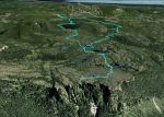
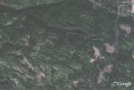
- GPS track in Google Earth
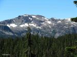
-
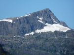
- Mt. Albert Edward
-
- Mt. Washington
-
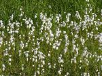
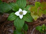
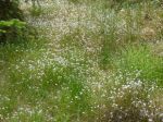
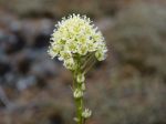
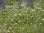
- Narrow-leaved Cotton Grass
-
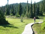
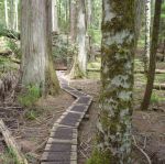
- Paradise Meadows boardwalk
-
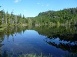
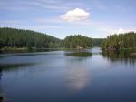
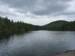
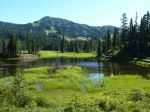
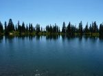
- Lady Lake
-
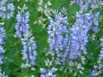
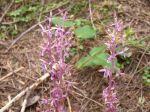
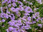
- Lupine
-
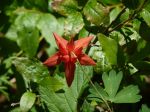
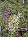
- Columbine
-
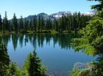
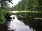
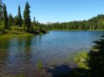
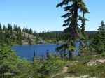
- Kwai Lake
-
- Kwai Lake
-
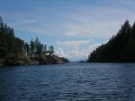
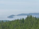
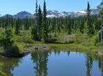
- Lake Beautiful
-

- Lake Beautiful
-
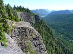
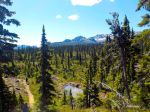
- Cruickshank Canyon
-
- Mount Frink
-

- Whiskey Jack
(click on photos to view larger)