| Activity | Hiking |
| Destination | Maud Island |
| Date | 9 Nov 2022, Wednesday |
| Trip Coordinator | Norris Weimer |
| Contact Info | norris.weimer@ualberta.ca or 3710. Please contact the coordinator by Monday night. |
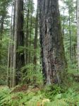
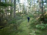
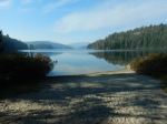
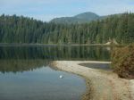
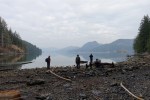
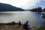
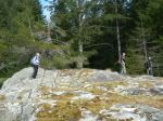
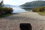
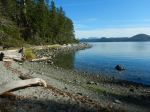
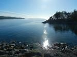
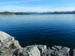
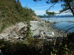
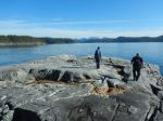
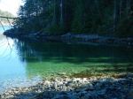
| Description | Hike to Maud Island through varied forest and terrain. We will do a loop passing over the shoulder of Mt. Lolo (if conditions are favourable), crossing the causeway to Maud Island, enjoying views of Seymour Narrows, and returning by the salt water lagoon. The currents in the Narrows will not be impressive at this time. This trail has recently had trail work done on it. Allow 5 hours, including the fairly long drive, for this walk of approximately 10km. |
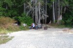
| Meeting Place | Heriot Bay Store for car pooling |
| Departure Time | 10:00 |
| Difficulty |
Moderate |
| Costs | |
| Trip limits | 10 |
| Dogs? | |
| Notes: | The current will be slack around noon, so we will not see turbulence. Expect cold conditions. Bring lunch. This trip will be weather dependent and we may substitute if necessary. |
Hiking – Maud Island – 9 Nov 2022
1