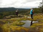
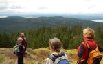
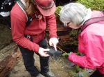
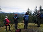
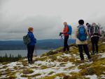
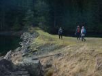
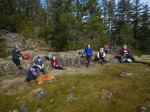
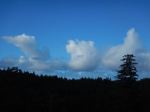
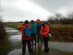
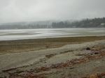
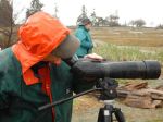
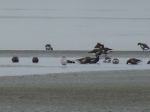
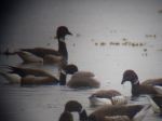
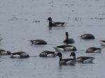
A small group of us set out with low expectations, under heavy grey skies, to look for migrating geese. We were in quest of Brant, a beautiful small goose that makes a stop-over in this area to re-fuel on the trip north. We started our exploration at Rathtrevor Beach, just south of Parksville and had several other sites located in case we had to search the length of the estuary area to find groups of Brant. But as soon as we walked over to the edge of the sand we were delighted to see large numbers of these elegant black and white geese strung along the waterline. Among them were a number of shorebirds – Black Turnstones and Black-bellied Plovers. We walked out along the sand as far as we dared without disturbing the birds, set up the spotting scope, and enjoyed the show.
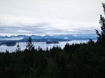
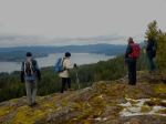
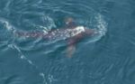
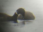
As we had a closer look, we realized that there was a lot of activity offshore as well. A bunch of immense sea lions were splashing and interacting just beyond the Brant, and we spotted a group of porpoise swimming by. Beyond all that were large rafts of Scoters and the occasional loon. There was a feeling of excitement in the air as all these critters were energetically feeding and organizing themselves for the next leg on the push northward to breed.
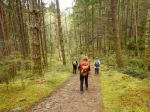
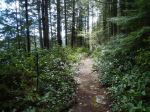
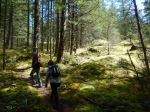
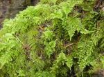
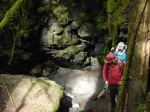
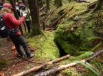
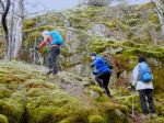
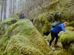
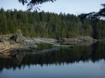
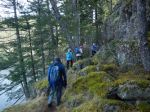
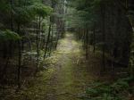
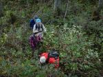
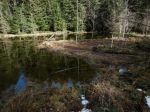
After taking in our fill at this location, we moved to the forested area on the other side of Englishman River to see what we could turn up there. The forest was beautiful, but there was not a lot of bird activity. We did spot large numbers of Swallows (Bank, we presumed) zooming about along the river. It’s always nice to see these birds in good numbers, knowing that their populations are struggling worldwide.
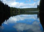
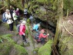
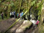
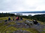
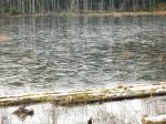
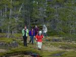
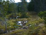
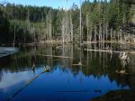
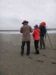
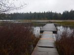
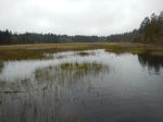
After a warm-up lunch in a pub in Parksville and we made a final stop inland at Hamilton Marsh near Coombs. A short walk took us to a large open wetland area with a dock extending into the water. We spotted many Canada Geese, Buffleheads, Red-winged Blackbirds and lots of Tree Swallows swooping about.
Altogether, our bird list for the day totaled 37 species:
American Robin
Northwest Crow
Bald Eagle
Brant Goose
Black Turnstone
Ruby-crowned Kinglet
Golden-crowned Kinglet
Chestnut-backed Chickadee
White-crowned Sparrow
Song Sparrow
Black Oystercatcher
White Winged Scoter
Surf Scoter
Common loon
Eared Grebe
Black-bellied Plover
Mew Gull
Thayer’s Gull
California Gull
Pine Siskin
Dark-eyed Junco
Spotted Towhee
Wilsons Warbler
Red-breasted Merganser
Belted Kingfisher
Common Raven
Yellow-rumped Warbler
Mallard
Savannah Sparrow
Bank Swallow
Pacific Wren
Red-winged Blackbird
Bufflehead
Tree Swallow
Brown Creeper
Great Blue Heron
House Finch
Kathryn
(click on photos to view larger)
-
-
-
-
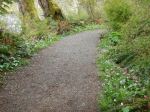
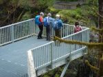
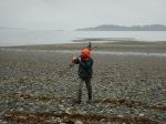
Rathtrevor Beach
-
-
-
-
-
Brant Geese
-
-

-
-
-
-
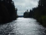
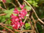
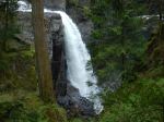
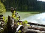
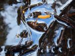
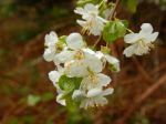
Wild Current
-
-
-
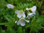
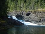
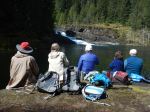
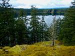
Hamilton Marsh
-
-
Hamilton Marsh
-
-
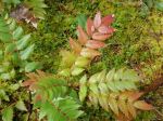
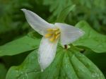
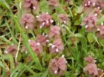
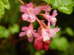
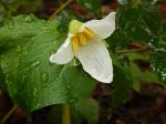
Trillim
Thanks to Kathryn and Norris for the photos
Bird Watching – Qualicum Shoreline – 29 Mar 2017