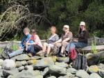
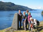
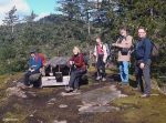
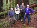
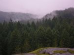
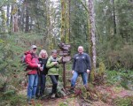
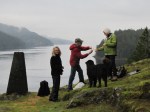
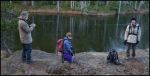
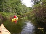
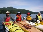
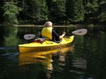
Five club members enjoyed the first multi-day paddle of the season, camping at Main Lake and touring all the corners of the park. We set off from the Mine Lake boat launch on an overcast Monday morning which turned to drizzle later in the day. As the campsite is well equipped with a picnic table and a frame above it for setting up tarps, we were comfortable and dry. In the afternoon, we paddled down to the south end of Village Bay Lake to the fish counting gate, and returned for an excellent supper featuring prawns in garlic butter, supplied by Les. After a drizzly night, Tuesday dawned sunny and calm. With high water levels, we were able to paddle up the channel to Little Main Lake – a highlight of the trip. One of the group headed home in the afternoon due to a bad cold, while the rest enjoyed the campfire, the moonrise and a nocturnal visit from a rather large frog. On Wednesday morning we paddled to the east end of Main Lake, walked the old portage trail to Yeatman Bay and enjoyed the view from the tidal island at the mouth of the bay. We arrived back at the launch site about two o’clock.

-
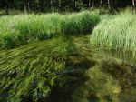
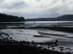
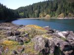
- mouth of Clear Creek
-
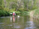
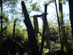
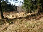
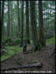
- Shadow Brook to Little Main
-
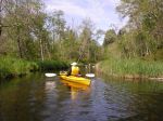
- Shadow Brook to Little Main
-
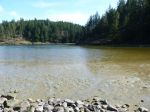
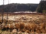
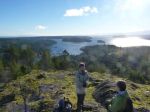
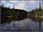
- Little Main Lake
-
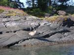
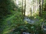
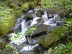
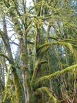
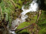
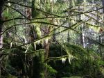
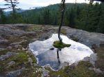
- Shadow Brook
-
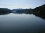
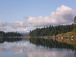
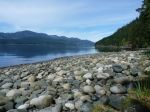
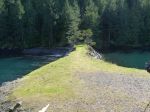
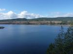
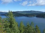
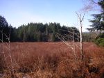
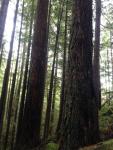
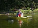
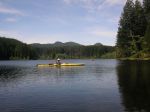
- Main Lake
-
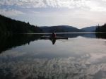
- Main Lake

-

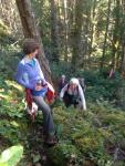
- frog
-
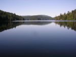
- Main Lake
-
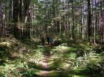
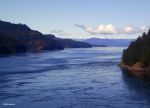
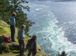
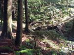
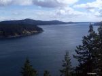
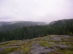
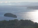
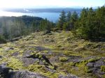
- the walk to Yeatman Bay
-
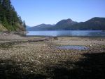
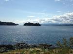
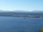
- view from Yeatman Bay
-
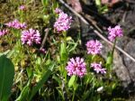
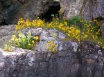
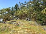
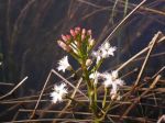
- sea blush
-
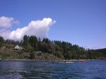
- Yeatman Bay
(click on photos to view larger)