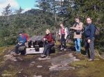
Trip Coordinator: Darcy Mitchell
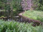
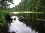
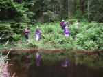
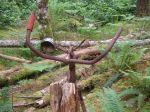
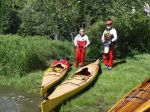
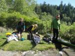
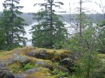
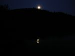
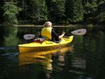
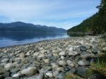
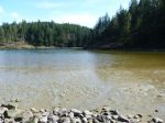
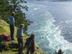
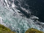
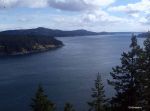
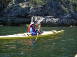
Following a quick pre-launch discussion, the planned trip to the Octopus Islands became a trip to the Rendezvous Islands instead. With strong to gale force winds forecast for the return date, we decided it was best not to be limited by slack water in Beazley Passage in the event that we needed to make a quick exit. We launched in 10-15 knot winds from the dock at Discovery Islands Lodge about 1:30 and paddled through White Rock Passage in sunny and calm conditions, although against increasing current, until we reached the eastern entrance where wind and current collided and it was a bit sloppy with steep waves close together. Heading downwind, we reached the north end of South Rendezvous and started hunting for a campsite reported to be on the northeast shore. Ducking around a point, we found a scrap of beach in a nook with little surf, and scrambled ashore. The campsite on a small peninsula (the handmade sign calls it “Cliffside Camp”) offers about three tent sites, has great views in nearly all directions and is very exposed in a northwest wind. The kayaks were hauled far up on logs, but Norris and Debbie moved them farther into the bush as the tide continued to rise late into the night. Next morning, we waited patiently for the beach to reappear, but finally launched from the seaweed-covered boulders with small waves. This exercise had elements of the fox, geese and grain puzzle about it, as boats needed to be loaded at the water’s edge and launched one by one, a tricky task for the one person left on the beach. We resolved this problem by holding a loaded kayak offshore and floating it back in for the last paddler.
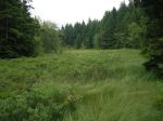
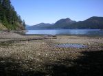
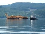
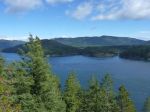
The morning was quite calm, so we headed south to check out a second reported campsite on South Rendezvous. This lovely site is more to the west than the south of the island, and appears to be an old homestead as there is a large meadow and the remains of a dock. The site offers a good beach for landing, and excellent protection from all directions except the southwest. Carrying on north, we crossed to paddle up the east side of Central Rendezvous, then back toward White Rock Passage to avoid fairly strong outflow winds, and to find a campsite within a short paddle back to the Lodge. There appears to be a camping area on the Read Island side of the passage, but it is fronted by active shellfish leases, and we felt that campers might not be welcome. We continued on to check out a campsite on the Maurelle shore north of the Settlers Group. Unfortunately, the outflow current from Beazley Passage was so strong we were unable to make much headway before being spit back out. We then paddled back toward White Rock Passage to a large beach in hopes of finding space there. After hunting about, we located a small site beside a creek, overhung with alders, and rather heavily infested with tent caterpillars. We spent the night about 15 feet from the high water mark.
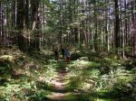
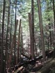
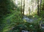
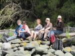
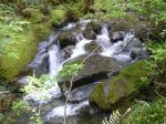
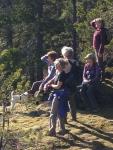
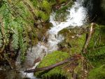
Next morning, we explored along the south shores of the Settlers Groups and, just as the wind really started to blow, returned to the Lodge dock at noon. In all, we paddled 35 kilometres over about 10 hours. We had a great time, and learned a lot, including the fact that campsites are limited and it’s important to start looking fairly early and have several alternatives. As we paddle this summer, we intend to identify and visit as many potential campsites as possible in the Discovery Islands/Desolation Sound area to facilitate future trip planning. With the early return, there was an optional hike to Surge Narrows.
-
-
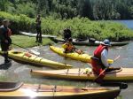
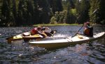
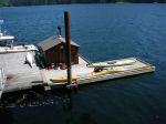
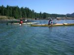
Discovery Island Lodge dock
-
-
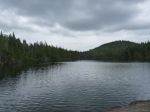
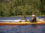
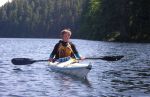
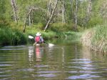
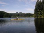
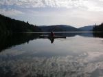
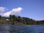
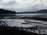
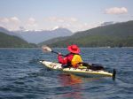
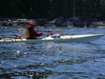
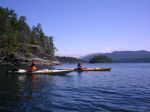
towards Whiterock Passage
-
-
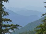
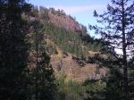
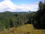
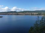
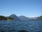
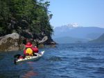
Toba Mountain & Downie Range
-
-
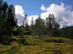
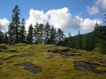
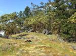
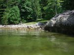
campsite SW end of S Rendezvous Island
-

-
-
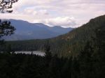
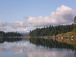
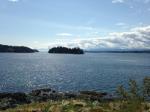
Rendezvous Island and Mt Estero
-
-
-
-
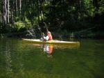
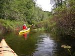
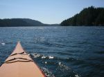
E end of Whiterock Passage
-
-
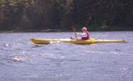
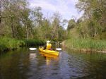
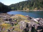
W end of Whiterock Passage
-
-
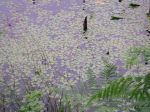
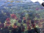
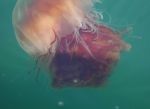
Jellyfish
-
-
-
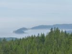
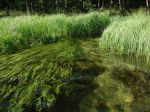
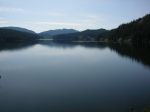
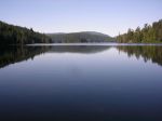
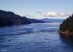
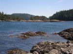
Hoskyn Channel
-
-
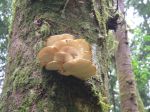
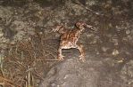
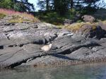
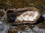
Chiton
-

-
Surge Narrows looking north
-
-
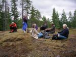
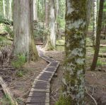
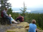
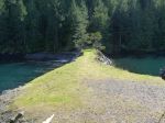
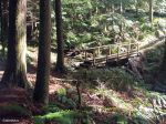
Surge Narrows
-
-
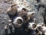
Barnacles
-
-
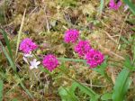
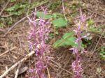
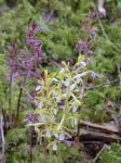
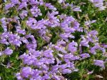
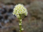
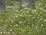
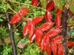
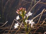
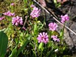
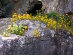
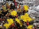
Stonecrop sedum
(click on photos to view larger)
Paddling/camping Octopus Islands 2-4 June 2014