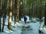
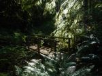
We had 10 for this quite long, unusual walk through Campbell River. Unfortunately the original organizer, Vic, wasn’t feeling well, but wanted the trip to go ahead. After taking the 9:00 ferry, we walked through town to the ERT (Elk River Timber) trail head and then followed this level route, which feels quite remote even though it is in the city. Some of the forest is slated for development, so that may change. There was some hard compacted snow under foot, which was being plowed as we walked. The ERT leads directly into the Beaverlodge Lands. There are many well marked trails through this forest and we didn’t have a firmly defined route. The vague plan was to cross the major road further north and continue through residential areas down to Willow Point. However, some combination of snow on the side trails and general inattention resulted in us exiting the forest near the Hilchey Rd intersection, so we walked down that noisy, urban road, where the side walks were mostly unshovelled.
Most of us went for lunch at Daves’ Bakery, where the sandwiches are excellent. Half of the group decided not to walk back to the ferry, with four taking the bus, which was a first for everyone. The remaining five walked back along the sea walk paralleling Discovery Passage. This was snow-free, easy walking along a developed promenade. This walking group returned to Quadra on the 2:30 ferry. For the Outdoor Club this is a very unique and varied hike. (11.4 km; 2¾ hours to Daves’ Bakery and 7.1 km and 1½ hours from there to the ferry terminal)
(click on photos to enlarge)
-
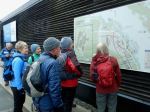
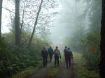
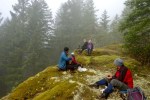
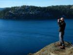
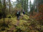
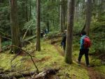
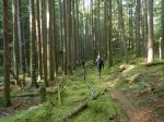
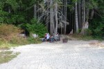
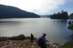
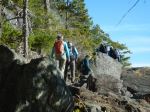
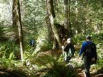
- Checking the route
-
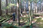
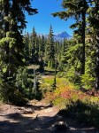
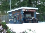
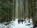
- ERT trailhead
-

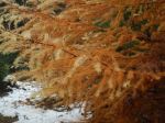
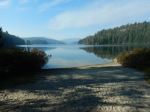
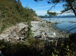
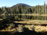
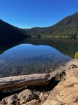
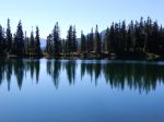
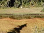
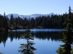
- Frozen wetlands
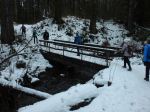
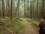
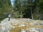
-
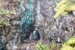
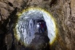
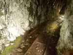
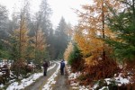
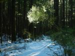
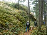
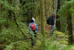
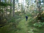
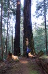
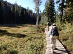
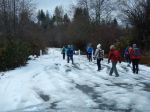
- Rail Trail in Beaverlodge
-
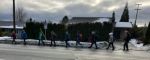
- Walking in the bike lane on Hilchey
-

- Daves’ Bakery
-
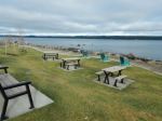
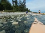
- Sea walk facilities
-
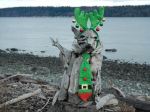
- The racoon dressed for Christmas
-
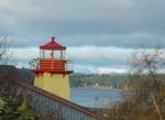
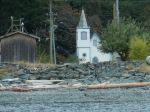
- Maritime Centre lighthouse
-
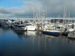
- The government docks
-
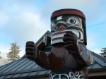
- The Welcome Pole on our return