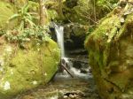
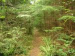
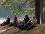
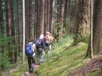
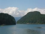
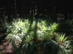
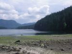
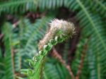
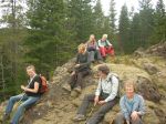
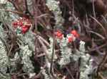
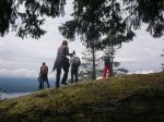
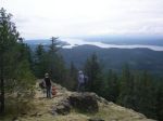
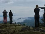
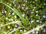
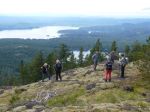
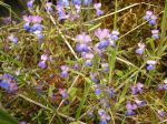
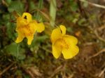
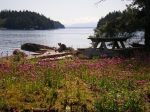
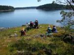
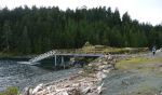
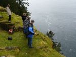
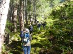
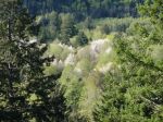
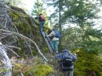
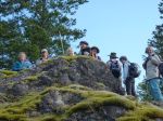
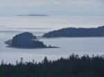
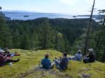
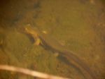
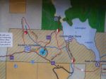
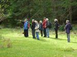
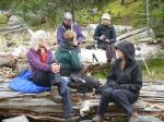
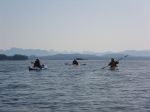
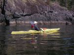
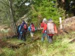
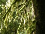
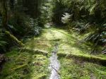
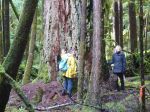
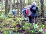
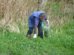
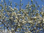
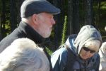
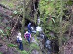
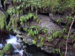
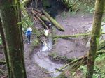
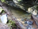
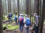
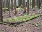
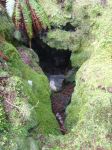
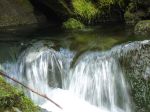
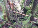
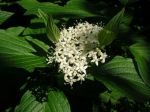
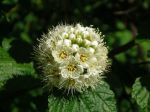
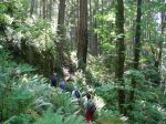
On Tuesday, May 26, seven of us carpooled to and hiked the Ripple Rock Trail north of Campbell River. We tried out the new (to us) bridge over Menzies Creek and admired the huge Sitka spruces on the banks. We passed many old fir trees as we hiked through the lovely open forest, while grazing on salmon berries. We stopped at each viewpoint and had lunch on the bluff overlooking Seymour Narrows with great views of Discovery Passage and Maud Island. There are still wild flowers, but the moss is extremely dry. On the way back, there were oyster mushrooms for picking and a few of us splashed or bathed in Menzies Creek.
-
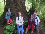
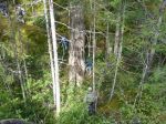
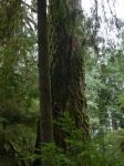
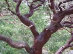
- the Sitka and us
-

- Salmon berry
-
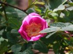
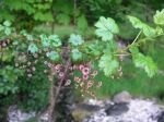
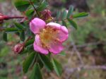
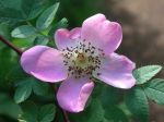
- Wild rose
-
- Wild rose
-
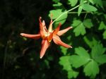
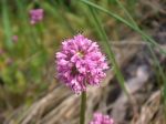
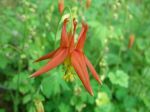
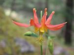
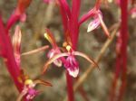
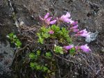
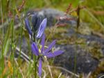
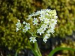
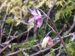
- Columbine
-
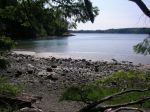
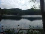
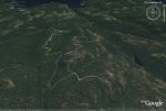
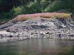
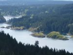
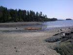
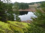
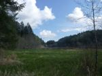
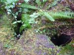
- Nymph Bay


-
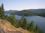
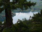
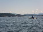
- Discovery Passage
-
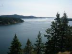
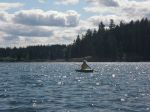
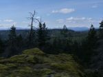
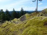
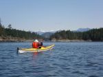
- Seymour Narrows and south
-
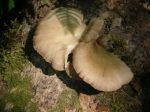
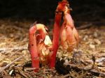
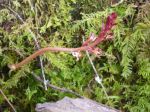
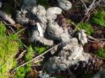
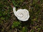
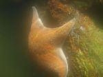
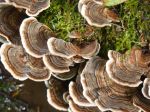
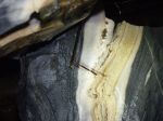
- Oyster mushroom
-
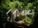
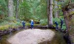
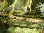
- the “new” bridge
(click on photos to view larger)