
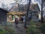
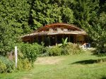
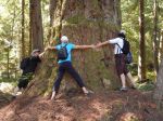
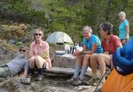
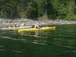
Five energetic souls headed up to Ralph River Campground. Our first night was settling into this very lovely campground and exploring the local area. Ralph River campground is quite a beautiful campground in that it has large private sites with many very large old growth trees. It is also not very busy especially during the week.
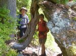
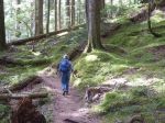
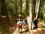
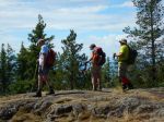
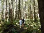
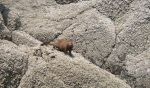
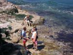
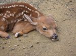
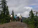
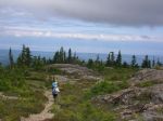
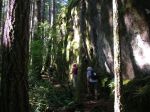
We set out the next morning to do our main hike to Baby Bedwell and beyond. The weather was coolish which was an advantage in our 600 meter elevation gain hike. The trail is man made and quite rough with lots of loose rocks and switchbacks. It passes through many beautiful areas of forest and river crossings before it reaches the sub alpine. We had the joy of sighting a very large black bear having his morning berry pick. He observed us without fear and kept vigilant without stopping his lunch.
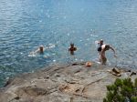
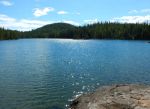
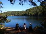
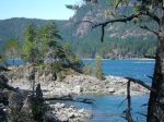
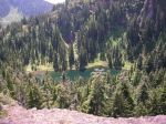
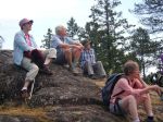
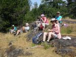
We arrived at Baby Bedwell Lake, one of the most beautiful sub alpine areas. A delightful swim and lunch was enjoyed here. Three members of the team carried on to Bedwell Lake campground, a further 2 hour hike. Five tired hikers got back to Ralph River Campground for our usual delightful pot luck dinner. Car camping has its advantages!
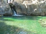
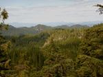
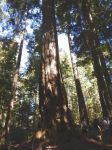
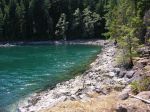
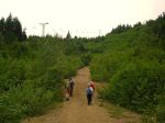
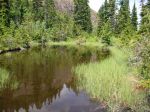
The next day, after a more leisurely start and breaking camp, we headed to Upper Myra Falls. This was a delightful 6 km walk through beautiful old growth forest (once we got through the waste lands of the mine) to Upper Myra Falls which was spectacular with its beautiful aqua blue pools.
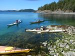
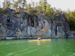
The group split at this point, some went exploring Lower Myra Falls, while the others sought out a swimming spot on Buttle Lake. It was a very enjoyable three days spent in a very beautiful area so close to home.
Sheelagh
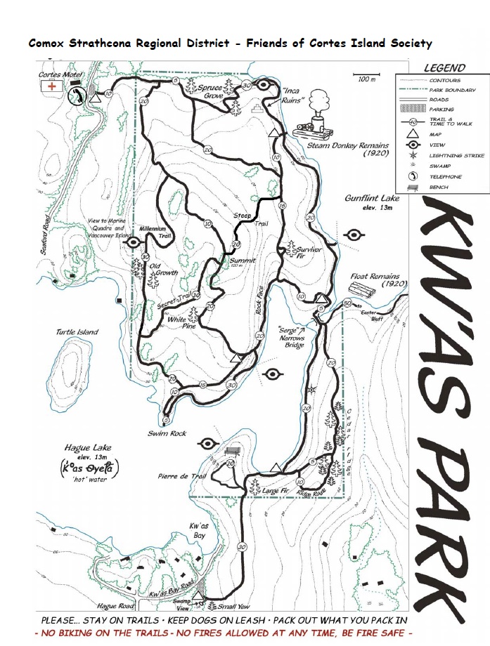
click on photos to see enlarged
-
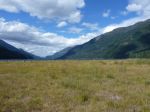
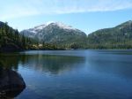
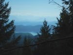
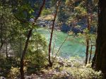
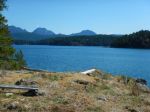
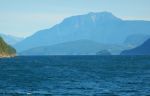
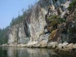
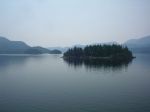
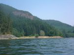
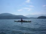
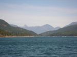
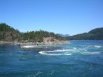
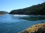
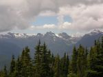
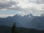
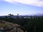
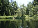
- Looking north from Ralph River
-
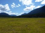
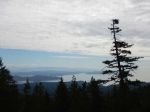
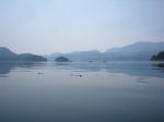
- Looking south from Ralph River
-
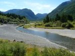
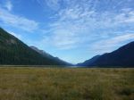
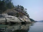
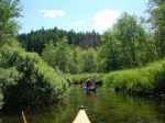
- Thelwood Creek
-
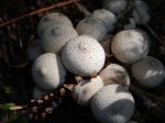
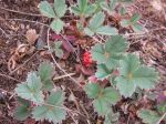
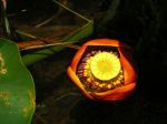
- Scaly Vase Chanterelle

-

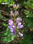
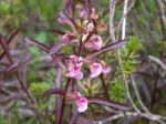
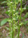
- Rattlesnake Plantain Orchid
-

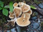
- Bracket
-

- Black Bear near Baby Bedwell
-
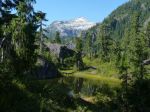
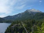
- Baby Bedwell & Mt. Tom Taylor
-
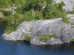
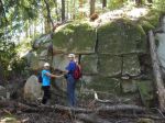
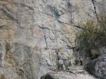
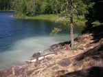
- Rock ledge at Baby Bedwell campground
-
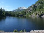
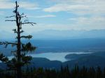
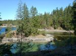
- Bedwell Lake & Big Interior Mtn
-
- Mt. Tom Taylor
-
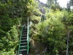
- One of many sets of stairs
-
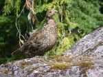
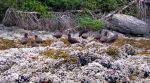
- Female Sooty Grouse
-
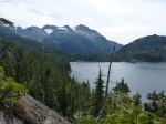
- Bedwell Lake & Mt. Tom Taylor
-
- Looking north from Ralph River
-
- Trail to Upper Myra Falls
-
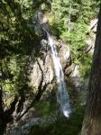
- Upper Myra Falls
-
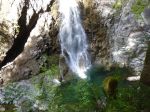
- Upper Myra Falls
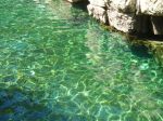
-

- Pool below Upper Myra Falls
-
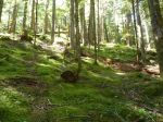
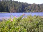
- Open understory forest
-
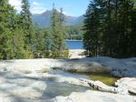
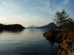
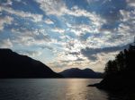
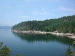
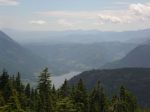
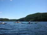
- Buttle Lake from Lower Myra Falls
-
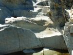
- Pool at Lower Myra Falls
-
- Second cascade at Lower Myra Falls


