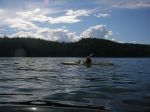
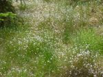
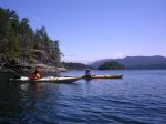
Thanks to the intervention of the weather gods, the Sutil Channel trip left a day later than planned and went to Desolation Sound instead, via Cortes Island. After Saturday’s rain, Sunday also started with a downpour which lightened to drizzle by the time Debbie, Norris and Darcy arrived in Whaletown with one vehicle and three kayaks. We intended to shuttle the third boat over to Squirrel Cove, but were saved the trip by a very nice woman who offered to take a kayak on her van. As a result, we were able to launch by 1 p.m., heading to the Martin Islands south of Refuge Cove (West Redonda). The 7 kilometre crossing took just over an hour and a half in calm conditions. The Islands (which are a single island except in high winter tides) offer a number of tent sites near the ‘waist’; we chose two sites with a stone fire ring and benches to the east of the main camping area. After setting up camp, we paddled out to visit Refuge Cove with its very well supplied store – and had sautéed mushrooms with our steaks as a result!
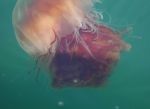
The following morning, we set out for Roscoe Bay on the east side of West Redonda, known among boaters for its drying bar and huge population of jellyfish. We trekked up to Black Lake for a swim, with a bit of bushwhacking until we found a good rocky ledge, then paddled back to camp against the wind. (Note to selves – plan itineraries so that return trips are downwind! And the northwest wind can come from the south here!) Twenty-three kilometres paddled for the day. After another excellent dinner, we settled down to a night of bright stars and loud winds.
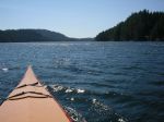
Next morning, rather than upping stakes and heading north to Teakerne Arm (in case the winds returned in force), we paddled toward Tenedos Bay with a light northwesterly behind us. We skirted a seagull rookery with chicks and seals, and stopped for lunch at the head of the Bay, where a short trail leads to Unwin Lake. Being a little nervous about the forecast, we skipped a swim, and paddled around the tidal island in Tenedos Bay, past rock ledge campsites (with kayaks resting precariously on very steep ledges) and through the popular Curmes Islands. We saw quite a few tents and campers, but no other kayaks actually on the water. Returning to the Martin Islands (25.5 kilometres for the day), we found seven kayaks on the beach and a large group of young people with their leaders from an outdoor education program in Victoria. Our little nook offered plenty of privacy, however, so we enjoyed another night of quiet except for the winds – again.
Next morning, we broke camp and hung about the beach for a while deciding when to leave. With whitecaps in Lewis Channel and forecast winds up to 30 knots in the afternoon, there weren’t many options other than taking advantage of the comparative lull (10-20 knots) expected to occur late morning. We set off at 11:15 and after battling our way through heavy gusts around the point south of Refuge Cove, things settled down a bit until we were about half way across. By the time we reached Squirrel Cove at 2 p.m., the wind was up to 15-20 knots, although the waves remained a short chop. Taking advantage of our Good Samaritan’s offer of a return trip to Whaletown, we made the 4:05 ferry with time to spare. The ferry crew estimated the winds at 25-30 knots, which made us very grateful that we were not paddling back to the Heriot Bay boat launch.
submitted by Darcy Mitchell, trip coordinator
-

-
-
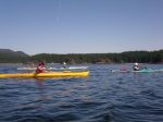
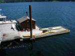
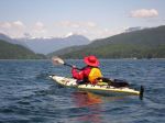
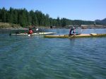
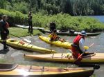
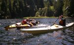
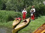
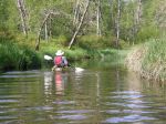
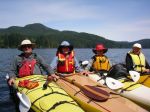
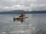
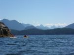
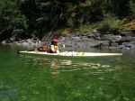
leaving Squirrel Cove
-

-
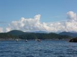
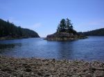
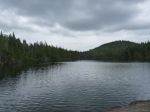
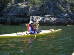
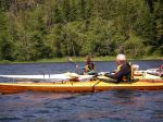
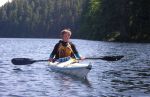
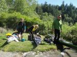
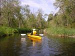
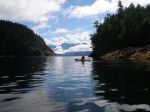
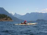
arriving Martin Islands
-
-
-
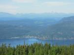
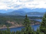
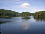
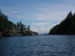
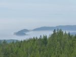
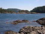
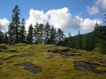
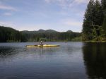
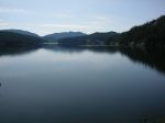
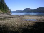
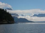
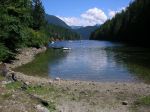
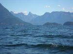
Desolation Sound
-
-
-
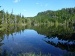
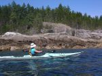
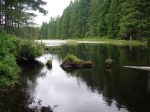
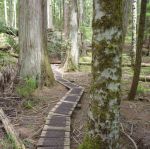
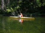
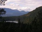
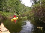
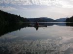
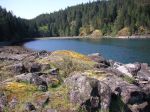
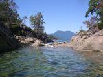
Roscoe Bay
-
-
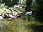
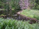
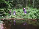
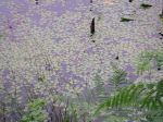
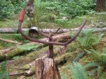
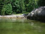
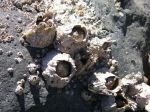
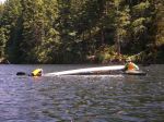
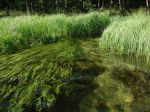
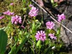
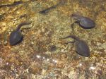
tadpoles in Black Lake
-

-
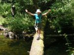
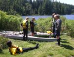
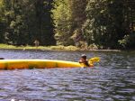
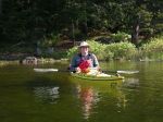
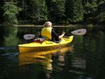
swimmer in Black Lake
-
-
-
-
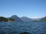
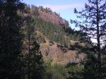
Mt. Baldy and Mt. Beartooth
-
-
-
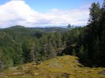
Mt. Aiken and Mt. Denman
-
-
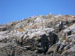
Ray Rock
-
-
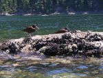
Oyster Catchers
-
-
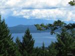
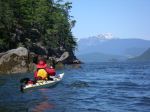
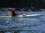
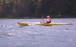
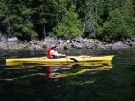
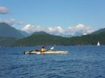
Tenedos Bay
-
-
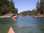
Curme Islands
-
-
Curme Islands
-

(click on photos to view larger)
Paddling/camping Sutil Channel 5-9 July 2014